Mezőfalva | |
|---|---|
Large village | |
 Flag  Coat of arms | |
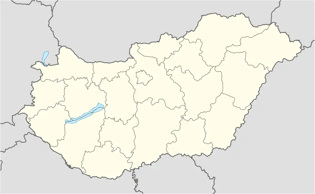 Mezőfalva Location of Mezőfalva | |
| Coordinates: 46°56′16″N 18°47′12″E / 46.93780°N 18.78666°E | |
| Country | |
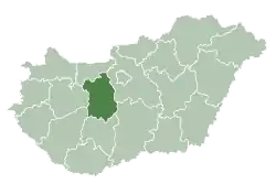
| County | Fejér |
| District | Dunaújváros |
| Area | |
| • Total | 80.42 km2 (31.05 sq mi) |
| Population (2004) | |
| • Total | 4,929 |
| • Density | 61.29/km2 (158.7/sq mi) |
| Time zone | UTC+1 (CET) |
| • Summer (DST) | UTC+2 (CEST) |
| Postal code | 2422 |
| Area code | (+36) 25 |
External links
![]() Media related to Mezőfalva at Wikimedia Commons
Media related to Mezőfalva at Wikimedia Commons
- Official website in Hungarian
- Street map (in Hungarian)
| City with county rights (1) |
| |
|---|---|---|
| Towns (3) | ||
| Large villages (3) | ||
| Villages (9) | ||
| Cities with county rights |
|   |
|---|---|---|
| Towns | ||
| Large villages | ||
| Villages |
| |
| Other topics |
| |
This article is issued from Wikipedia. The text is licensed under Creative Commons - Attribution - Sharealike. Additional terms may apply for the media files.