| Meltingvatnet | |
|---|---|
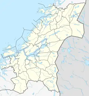 Meltingvatnet Location of the lake Show map of Trøndelag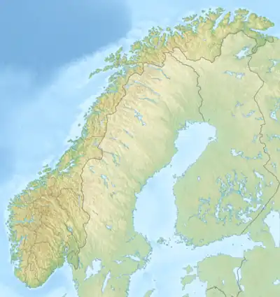 Meltingvatnet Meltingvatnet (Norway) Show map of Norway | |
| Location | Indre Fosen and Inderøy, Trøndelag |
| Coordinates | 63°46′24″N 10°47′03″E / 63.7732°N 10.7843°E / 63.7732; 10.7843 |
| Primary inflows | Sagtjønna lake |
| Primary outflows | Mossa river |
| Basin countries | Norway |
| Max. length | 7 kilometres (4.3 mi) |
| Max. width | 3 kilometres (1.9 mi) |
| Surface area | 8.85 km2 (3.42 sq mi) |
| Shore length1 | 40.12 kilometres (24.93 mi) |
| Surface elevation | 217 metres (712 ft) |
| References | NVE |
| 1 Shore length is not a well-defined measure. | |
Meltingvatnet is a lake on the border of the municipalities of Indre Fosen and Inderøy in Trøndelag county, Norway. The lake is a reservoir that holds water for the Mosvik power plant. The water flows out of the lake into the Mossa river which flows into the village of Mosvik.[1]
See also
References
- ↑ Rosvold, Knut A., ed. (2012-02-05). "Meltingvatnet". Store norske leksikon (in Norwegian). Kunnskapsforlaget. Retrieved 2018-03-04.
This article is issued from Wikipedia. The text is licensed under Creative Commons - Attribution - Sharealike. Additional terms may apply for the media files.