 Mangak Island  Mangak Island | |
| Geography | |
|---|---|
| Location | Coronation Gulf |
| Coordinates | 68°11′N 112°45′W / 68.183°N 112.750°W |
| Archipelago | Arctic Archipelago |
| Administration | |
Canada | |
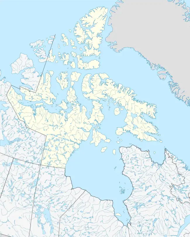
| Territory | Nunavut |
| Region | Kitikmeot |
| Demographics | |
| Population | Uninhabited |
Mangak Island is an island located within Coronation Gulf, south of Victoria Island, in the Kitikmeot Region, Nunavut, Canada. It is situated at an elevation of 30 m (98 ft) above sea level.[1]
Other islands in the vicinity include Anchor Island, Duke of York Archipelago, Haodlon Island, Hatoayok Island, Hokagon Island, Kabviukvik Island, Kingak Island, Nanortut Island, Nanukton Island, and Takhoalok Island.[2]
References
- ↑ "Mangak Island ca. 30 m". geonames.org. Retrieved 2009-03-16.
- ↑ "Mangak Island". travelingluck.com. Retrieved 2009-03-16.
This article is issued from Wikipedia. The text is licensed under Creative Commons - Attribution - Sharealike. Additional terms may apply for the media files.