Manegaon
industrial area | |
|---|---|
city | |
 Manegaon Location in Madhya Pradesh, India 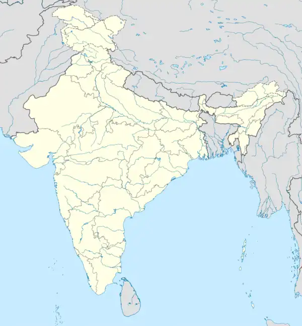 Manegaon Manegaon (India) | |
| Coordinates: 21°51′N 80°15′E / 21.85°N 80.25°E | |
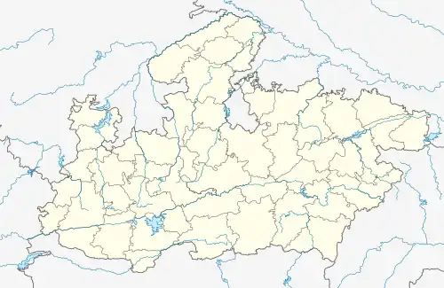
| Jabalpur division Country | |
| State | Madhya Pradesh |
| District | Balaghat |
| Government | |
| • Body | panchayat |
| Elevation | 298 m (978 ft) |
| Population (2001) | |
| • Total | 9,174 |
| Languages | |
| • Official | Hindi |
| Time zone | UTC+5:30 (IST) |
| ISO 3166 code | IN-MP |
| Vehicle registration | MP |
Manegaon is a census town in Balaghat district in the Indian state of Madhya Pradesh. Total papulation :2045 House hold 465
Manegaon Population by Sex
There are total of 989 male person's & 1056 Females & a total
Number Of 225 children's below 6 year in Manegaon
The percentage of male population
Is 48.36%
The percentage of female population is 51.64%
The percentage of child population is 11.00%
Geography
Manegaon is located at 21°51′N 80°15′E / 21.85°N 80.25°E.[1] It has an average elevation of 298 metres (977 feet).
Demographics
As of 2001 India census,[2] Manegaon had a population of 9174. Males constitute 52% of the population and females 48%. Manegaon has an average literacy rate of 78%, higher than the national average of 59.5%: male literacy is 83%, and female literacy is 72%. In Manegaon, 10% of the population is under 6 years of age.
References
- ↑ Falling Rain Genomics, Inc - Manegaon
- ↑ "Census of India 2001: Data from the 2001 Census, including cities, villages and towns (Provisional)". Census Commission of India. Archived from the original on 16 June 2004. Retrieved 1 November 2008.