Mamadev
Māmādev | |
|---|---|
Village | |
| MAMADEV | |
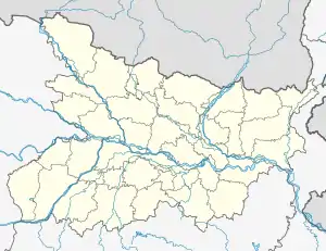 Mamadev Location in Bihar, India 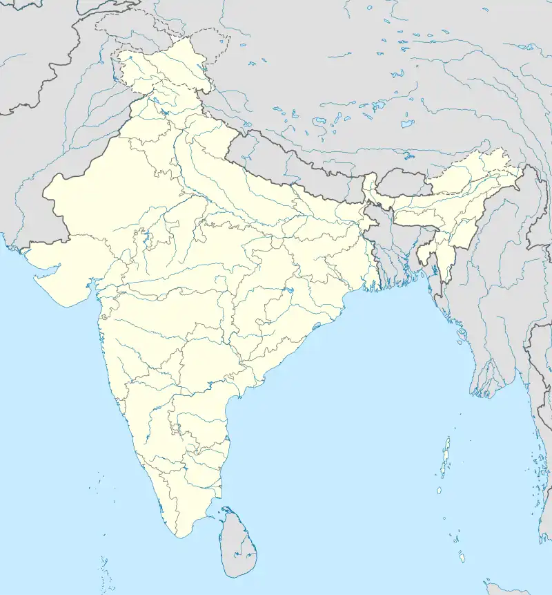 Mamadev Mamadev (India) | |
| Coordinates: 25°09′45″N 83°39′12″E / 25.16256°N 83.65324°E[1] | |
| Country | India |
| State | Bihar |
| District | Kaimur |
| Area | |
| • Total | 2.03 km2 (0.78 sq mi) |
| Elevation | 81 m (266 ft) |
| Population (2011) | |
| • Total | 2,597[2] |
| Languages | |
| • Official | Bhojpuri, Hindi |
| Time zone | UTC+5:30 (IST) |
Mamadev is a large village in Mohania block of Kaimur district, Bihar, India. It is located just east of Mohania. As of 2011, its population was 2,597, in 363 households.[2]
References
- 1 2 "Geonames.org. Māmādev". Retrieved 3 February 2021.
- 1 2 3 "Census of India 2011: Bihar District Census Handbook - Kaimur, Part A (Village and Town Directory)". Census 2011 India. pp. 344–423. Retrieved 3 February 2021.
This article is issued from Wikipedia. The text is licensed under Creative Commons - Attribution - Sharealike. Additional terms may apply for the media files.