| Mamañawi | |
|---|---|
 Mamañawi Peru | |
| Highest point | |
| Elevation | 5,100 m (16,700 ft)[1] |
| Coordinates | 15°21′21″S 70°56′05″W / 15.35583°S 70.93472°W |
| Geography | |
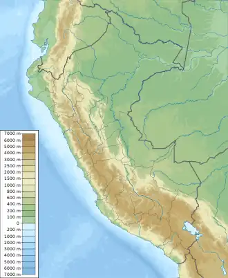
| Location | Peru, Puno Region |
| Parent range | Andes |
Mamañawi (Quechua mama mother, madam; vein (or seam), ñawi eye,[2] Hispanicized spelling Mamañahui) is a mountain in the Andes of Peru, about 5,100-metre (16,732 ft) high. It is situated in the Puno Region, Lampa Province, Santa Lucía. Mamañawi lies northwest of the mountain Uturunqani and southeast of Pukapunchu.[1]
References
- 1 2 escale.minedu.gob.pe - UGEL map of the Lampa Province (Puno Region)
- ↑ Teofilo Laime Ajacopa (2007). Diccionario Bilingüe: Iskay simipi yuyayk’anch: Quechua – Castellano / Castellano – Quechua (PDF). La Paz, Bolivia.
{{cite book}}: CS1 maint: location missing publisher (link)
This article is issued from Wikipedia. The text is licensed under Creative Commons - Attribution - Sharealike. Additional terms may apply for the media files.