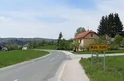
Malo Hudo
Hudo (until 1953) | |
|---|---|
 | |
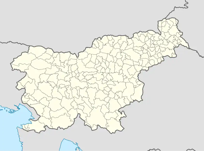 Malo Hudo Location in Slovenia | |
| Coordinates: 45°56′24.53″N 14°47′15.76″E / 45.9401472°N 14.7877111°E | |
| Country | |
| Traditional region | Lower Carniola |
| Statistical region | Central Slovenia |
| Municipality | Ivančna Gorica |
| Area | |
| • Total | 1.13 km2 (0.44 sq mi) |
| Elevation | 362.4 m (1,189.0 ft) |
| Population (2002) | |
| • Total | 141 |
| [1] | |
Malo Hudo (pronounced [ˈmaːlɔ ˈxuːdɔ]; German: Pösendorf[2]) is a settlement just west of Ivančna Gorica in the historical region of Lower Carniola in central Slovenia. The Municipality of Ivančna Gorica is now included in the Central Slovenia Statistical Region.[3]
Name
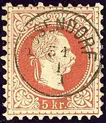
The name Pösendorf was used on this Austro-Hungarian 1874 cancellation
The name of the settlement was changed from Hudo to Malo Hudo (literally, 'little Hudo') in 1953.[4] The name Hudo is derived from the adjective hud 'bad, poor' and, as in similar names (e.g., Huje), refers to poor soil quality in the region.[5] In the past the German name was Pösendorf.[2]
References
- ↑ Statistical Office of the Republic of Slovenia
- 1 2 Leksikon občin kraljestev in dežel zastopanih v državnem zboru, vol. 6: Kranjsko. Vienna: C. Kr. Dvorna in Državna Tiskarna. 1906. p. 98.
- ↑ Ivančna Gorica municipal site
- ↑ Spremembe naselij 1948–95. 1996. Database. Ljubljana: Geografski inštitut ZRC SAZU, DZS.
- ↑ Snoj, Marko (2009). Etimološki slovar slovenskih zemljepisnih imen. Ljubljana: Modrijan. p. 166.
External links
This article is issued from Wikipedia. The text is licensed under Creative Commons - Attribution - Sharealike. Additional terms may apply for the media files.