Majhigawan | |
|---|---|
village | |
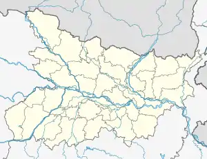 Majhigawan Location in Bihar, India 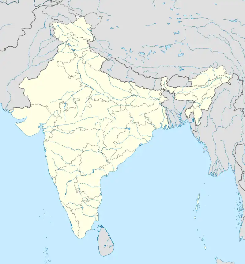 Majhigawan Majhigawan (India) | |
| Coordinates: 24°35′50″N 83°56′28″E / 24.597256°N 83.941121°E | |
| Country | |
| State | Bihar |
| District | Rohtas |
| Languages | |
| • Official | Maithili, Hindi |
| Time zone | UTC+5:30 (IST) |
| ISO 3166 code | IN-BR |
Majhigawan is a village in India, located in Rohtas District, Bihar on the fertile Gangetic Plain. It is located between the Sone River and the Kaimur Range of mountains, on which there is lush tropical forest.
Majhigawan is a famous village within the region and across Bihar, due to the Mishra family. The majority of the population is Hindu and there are numerous Mandirs, where the Hindu people of Majhgawan come to worship. There are a small minority of Muslims in the village. There is a Shiv Mandir and a Hanuman Mandir, as well as a Devi Mandir.
The majority of the population are engaged in agriculture, with a vast array of crops being grown, through the latest techniques. Rice, wheat, lentils, sugarcane and mangoes are only a few of the crops being grown, with the village being self-sufficient in everything, with the exception of salt and clothes.