Maen Roch
| |
|---|---|
_H%C3%B4tel-de-Ville.jpg.webp) The town hall of Saint-Brice-en-Coglès | |
Location of Maen Roch | |
 Maen Roch 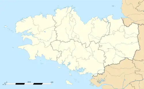 Maen Roch | |
| Coordinates: 48°24′40″N 1°21′58″W / 48.411°N 1.366°W | |
| Country | France |
| Region | Brittany |
| Department | Ille-et-Vilaine |
| Arrondissement | Fougères-Vitré |
| Canton | Val-Couesnon |
| Intercommunality | Couesnon Marches de Bretagne |
| Government | |
| • Mayor (2020–2026) | Thomas Janvier[1] |
| Area 1 | 39.11 km2 (15.10 sq mi) |
| Population | 5,033 |
| • Density | 130/km2 (330/sq mi) |
| Time zone | UTC+01:00 (CET) |
| • Summer (DST) | UTC+02:00 (CEST) |
| INSEE/Postal code | 35257 /35460 |
| 1 French Land Register data, which excludes lakes, ponds, glaciers > 1 km2 (0.386 sq mi or 247 acres) and river estuaries. | |
Maen Roch (French pronunciation: [mɛn ʁɔk]; literally meaning "Rock Rock" in both Gallo and Breton; Breton: Maen Roc'h) is a commune in the department of Ille-et-Vilaine, western France. The municipality was established on 1 January 2017 by merger of the former communes of Saint-Brice-en-Coglès (the seat) and Saint-Étienne-en-Coglès.[3]
Population
| Year | Pop. | ±% p.a. |
|---|---|---|
| 1968 | 3,475 | — |
| 1975 | 3,742 | +1.06% |
| 1982 | 3,899 | +0.59% |
| 1990 | 3,945 | +0.15% |
| 1999 | 3,825 | −0.34% |
| 2007 | 4,312 | +1.51% |
| 2012 | 4,592 | +1.27% |
| 2017 | 4,850 | +1.10% |
| Source: INSEE[4] | ||
See also
References
Wikimedia Commons has media related to Maen Roch.
- ↑ "Répertoire national des élus: les maires" (in French). data.gouv.fr, Plateforme ouverte des données publiques françaises. 13 September 2022.
- ↑ "Populations légales 2020". The National Institute of Statistics and Economic Studies. 29 December 2022.
- ↑ Arrêté préfectoral 29 August 2016 (in French)
- ↑ Population en historique depuis 1968, INSEE
This article is issued from Wikipedia. The text is licensed under Creative Commons - Attribution - Sharealike. Additional terms may apply for the media files.