Maafaru | |
|---|---|
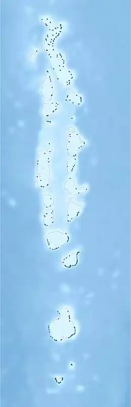 Maafaru Location in Maldives | |
| Coordinates: 05°49′55″N 73°28′49″E / 5.83194°N 73.48028°E | |
| Country | Maldives |
| Geographic atoll | Miladhummadulhu Atoll |
| Administrative atoll | Southern Miladhunmadulu |
| Distance to Malé | 183.23 km (113.85 mi) |
| Government | |
| • Council | Mohamed Adhnaan |
| Dimensions | |
| • Length | 4.630 km (2.877 mi) |
| • Width | 0.630 km (0.391 mi) |
| Population (2014)[1] | |
| • Total | 715 (including foreigners) |
| Time zone | UTC+05:00 (MST) |
Maafaru (Dhivehi : މާފަރު. ) is one of the inhabited islands of Noonu Atoll in the Maldives.
Geography
The island is 183.23 km (114 mi; 99 nmi) north of the country's capital, Malé.[2]
Demography
| Year | Pop. | ±% |
|---|---|---|
| 2006 | 710 | — |
| 2014 | 697 | −1.8% |
| 2006-2014: Census populations Source: [3] | ||
Transport
Maafaru International Airport was built in 2018, having a 2,200 m (7,200 ft) runway,[4] and built with aid from the Abu Dhabi Fund for Development.[5]
References
- ↑ "Table PP5: Resident Population by sex, nationality and locality (administrative islands), 2014" (PDF). Population and Households Census 2014. National Bureau of Statistics. p. 33. Retrieved 10 August 2018.
- ↑ "Coordinate Distance Calculator". Boulter.com. Retrieved 10 August 2018.
- ↑ "Table 3.3: Total Maldivian Population by Islands" (PDF). National Bureau of Statistics. Retrieved 10 August 2018.
- ↑ "Test flights to land at Maafaru Airport in July". Maldives Times. 23 June 2018. Retrieved 10 August 2018.
- ↑ "Maafaru Airport will Open with Modern Facilities – Minister Zameer". Maldives News. 3 January 2018. Retrieved 10 August 2018.
This article is issued from Wikipedia. The text is licensed under Creative Commons - Attribution - Sharealike. Additional terms may apply for the media files.