Lorenzo, Illinois | |
|---|---|
 Lorenzo  Lorenzo | |
| Coordinates: 41°20′49″N 88°13′19″W / 41.34694°N 88.22194°W | |
| Country | |
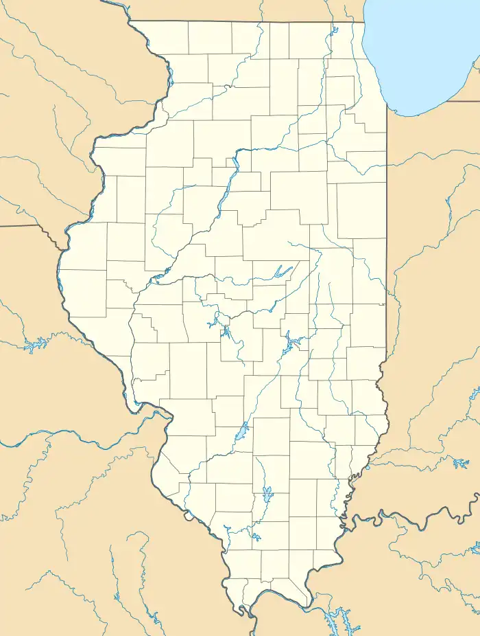
| State | Illinois |
| County | Will |
| Township | Wilmington |
| Area | |
| • Total | 0.31 sq mi (0.80 km2) |
| • Land | 0.31 sq mi (0.80 km2) |
| • Water | 0.00 sq mi (0.00 km2) |
| Elevation | 532 ft (162 m) |
| Population (2020) | |
| • Total | 26 |
| • Density | 84.14/sq mi (32.45/km2) |
| Time zone | UTC-6 (Central (CST)) |
| • Summer (DST) | UTC-5 (CDT) |
| ZIP Code | 60481 (Wilmington) |
| Area code(s) | 815, 779 |
| FIPS code | 17-44784 |
| GNIS feature ID | 2806522[2] |
Lorenzo is an unincorporated community and census-designated place (CDP) in Will County, Illinois, United States. It is in the southwest part of the county, in the valley of the Kankakee River. Interstate 55 passes 1 mile (1.6 km) to the east, and the city of Wilmington is 6 miles (10 km) to the southeast.
Lorenzo was first listed as a CDP prior to the 2020 census.
Demographics
| Census | Pop. | Note | %± |
|---|---|---|---|
| 2020 | 26 | — | |
| U.S. Decennial Census[3] | |||
References
- ↑ "2020 U.S. Gazetteer Files". United States Census Bureau. Retrieved March 15, 2022.
- 1 2 "Lorenzo Census Designated Place". Geographic Names Information System. United States Geological Survey, United States Department of the Interior.
- ↑ "Census of Population and Housing". Census.gov. Retrieved June 4, 2016.
Municipalities and communities of Will County, Illinois, United States | ||
|---|---|---|
| Cities | Map of Illinois highlighting Will County | |
| Villages |
| |
| Townships | ||
| CDPs | ||
| Other communities | ||
| Ghost town | ||
| Footnotes | ‡This populated place also has portions in an adjacent county or counties | |
This article is issued from Wikipedia. The text is licensed under Creative Commons - Attribution - Sharealike. Additional terms may apply for the media files.