Lola, Kentucky | |
|---|---|
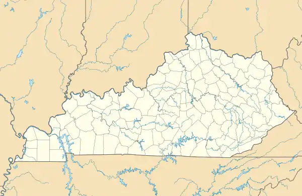 Lola Location in Kentucky  Lola Location in the United States | |
| Coordinates: 37°19′7″N 88°18′28″W / 37.31861°N 88.30778°W | |
| Country | United States |
| State | Kentucky |
| County | Livingston |
| Elevation | 397 ft (121 m) |
| Time zone | UTC-6 (Central (CST)) |
| • Summer (DST) | UTC-5 (CST) |
| ZIP codes | 42059 |
| GNIS feature ID | 508494[1] |
Lola is an unincorporated community in Livingston County, Kentucky, United States. The community is at the intersection of Kentucky routes 138 and 838 approximately 1.2 miles southwest of the Livingston-Crittenden county line.[2]
In 1881, Robert P. Mitchell established a post office and named it for his daughter, Lola.[3]
References
- 1 2 U.S. Geological Survey Geographic Names Information System: Lola, Kentucky
- ↑ Kentucky Atlas & Gazetteer, DeLorme, 4th ed. 2010, p. 60 ISBN 0899333400
- ↑ Rennick, Robert M. (1984). Kentucky Place Names. University Press of Kentucky. ISBN 0813126312.
Municipalities and communities of Livingston County, Kentucky, United States | ||
|---|---|---|
| Cities | 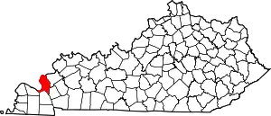 Location of Livingston County, Kentucky | |
| CDP | ||
| Unincorporated community | ||
This article is issued from Wikipedia. The text is licensed under Creative Commons - Attribution - Sharealike. Additional terms may apply for the media files.