Lekhapani
লেখাপানী | |
|---|---|
town | |
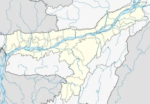 Lekhapani Location in Assam, India 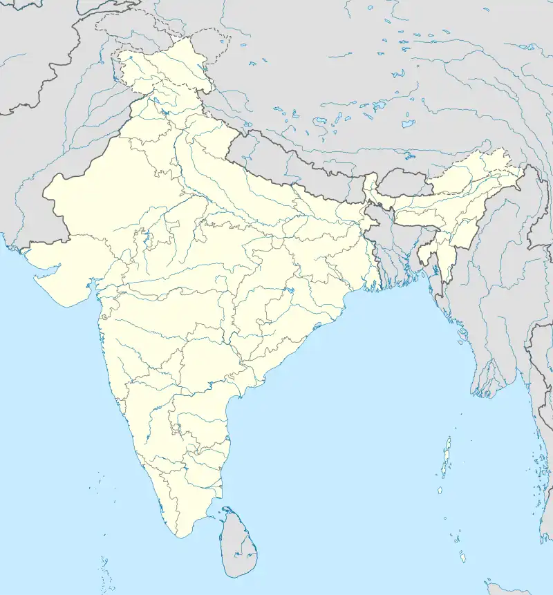 Lekhapani Lekhapani (India) | |
| Coordinates: 27°19′0″N 95°54′0″E / 27.31667°N 95.90000°E | |
| Country | |
| State | Assam |
| District | Tinsukia |
| Elevation | 150 m (490 ft) |
| Languages | |
| • Official | Assamese |
| Time zone | UTC+5:30 (IST) |
| PIN | 786182 |
| ISO 3166 code | IN-AS |
| Vehicle registration | AS |
| Coastline | 0 kilometres (0 mi) |
Lekhapani is a town in Tinsukia district, Assam, India.
and it is also the last frontier of North Frontier Railway(but it is inoperative since 1993)Lekhapani railway station
Geography
It is located at an elevation of 150 m above MSL.[1]
Transport
Lekhapani is connected by National Highway 38 to Makum. National Highway 153 which connects Ledo to Indo-Myanmar border across Pangsau Pass passes through Lekhapani. Lekhapani railway station is a defunct one but surveys are on to extend the line to Kharsang and revive the station.
Nearest towns and villages
References
- ↑ Map and weather of Lekhapani. fallingrain.com
This article is issued from Wikipedia. The text is licensed under Creative Commons - Attribution - Sharealike. Additional terms may apply for the media files.