Leipoldtville | |
|---|---|
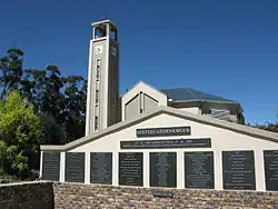 Church in Leipoldtville | |
 Leipoldtville 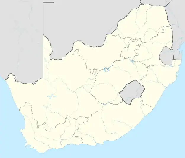 Leipoldtville | |
| Coordinates: 32°13′19″S 18°28′52″E / 32.222°S 18.481°E | |
| Country | South Africa |
| Province | Western Cape |
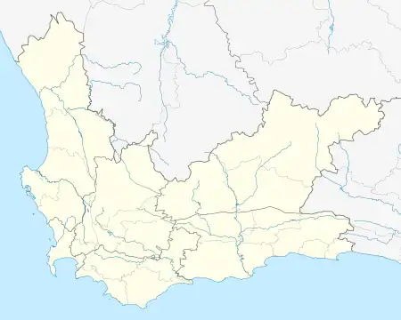
| District | West Coast |
| Municipality | Cederberg |
| Area | |
| • Total | 0.65 km2 (0.25 sq mi) |
| Population (2011)[1] | |
| • Total | 298 |
| • Density | 460/km2 (1,200/sq mi) |
| Racial makeup (2011) | |
| • Black African | 7.7% |
| • Coloured | 79.5% |
| • Indian/Asian | 1.7% |
| • White | 11.1% |
| First languages (2011) | |
| • Afrikaans | 96.3% |
| • English | 1.7% |
| • Other | 2.0% |
| Time zone | UTC+2 (SAST) |
| PO box | 8122 |
| Area code | 027 |
Leipoldtville is a town in Cederberg Local Municipality in the Western Cape province of South Africa.
It is located 40 km (25 mi) West-Southwest of Clanwilliam and 27 km (17 mi) Southeast of Lambert's Bay. The town is named after the Reverend C F Leipoldt, a Dutch Reformed minister in Clanwilliam from 1884 to 1910 and father of the Afrikaans poet C. Louis Leipoldt.[2]
References
- 1 2 3 4 "Main Place Leipoldtville". Census 2011.
- ↑ Raper, Peter E. (1987). Dictionary of Southern African Place Names. Internet Archive. p. 275. Retrieved 28 August 2013.
Municipalities and communities of West Coast District Municipality, Western Cape | ||
|---|---|---|
District seat: Moorreesburg | ||
| Matzikama | .svg.png.webp) West Coast District within South Africa | |
| Cederberg | ||
| Bergrivier | ||
| Saldanha Bay | ||
| Swartland | ||
This article is issued from Wikipedia. The text is licensed under Creative Commons - Attribution - Sharealike. Additional terms may apply for the media files.