Laurierville | |
|---|---|
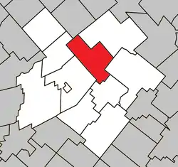 Location within L'Érable RCM. | |
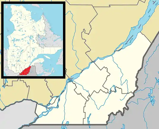 Laurierville Location in southern Quebec. | |
| Coordinates: 46°18′N 71°39′W / 46.300°N 71.650°W[1] | |
| Country | |
| Province | |
| Region | Centre-du-Québec |
| RCM | L'Érable |
| Constituted | November 26, 1997 |
| Government | |
| • Mayor | Etienne Briere |
| • Federal riding | Mégantic—L'Érable |
| • Prov. riding | Lotbinière |
| Area | |
| • Total | 108.80 km2 (42.01 sq mi) |
| • Land | 106.97 km2 (41.30 sq mi) |
| Population (2011)[3] | |
| • Total | 1,454 |
| • Density | 13.6/km2 (35/sq mi) |
| • Pop 2006-2011 | |
| • Dwellings | 602 |
| Time zone | UTC−5 (EST) |
| • Summer (DST) | UTC−4 (EDT) |
| Postal code(s) | |
| Area code | 819 |
| Highways | |
| Website | www |
Laurierville is a municipality in the Centre-du-Québec region of the province of Quebec in Canada.
It was constituted on November 26, 1997 by the amalgamation of the village municipality of Laurierville and the municipality of Sainte-Julie (the latter not to be confused with a different, modern-day Sainte-Julie in Montérégie). Laurierville contains the new storage warehouse of the Federation of Quebec Maple Syrup Producers.
Notable people
- Fernand Labrie, medical researcher[4]
- Marie-Rose Turcot, writer[5]
References
- ↑ "Banque de noms de lieux du Québec: Reference number 337655". toponymie.gouv.qc.ca (in French). Commission de toponymie du Québec.
- 1 2 "Répertoire des municipalités: Geographic code 32072". www.mamh.gouv.qc.ca (in French). Ministère des Affaires municipales et de l'Habitation.
- 1 2 "Laurierville, Quebec (Code 2432072) Census Profile". 2011 census. Government of Canada - Statistics Canada.
- ↑ Biron, Pierre-Paul (2019-01-17). "Décès d'un grand chercheur québécois". Le Journal de Québec. Retrieved 2020-04-01.
- ↑ "Marie-Rose Turcot 1887-1977 - Historical background". Ontario Heritage Trust. 2019-12-19. Retrieved 2020-04-01.
Places adjacent to Laurierville, Quebec | |
|---|---|
| Cities | |
|---|---|
| Municipalities | |
| Parishes | |
| |
This article is issued from Wikipedia. The text is licensed under Creative Commons - Attribution - Sharealike. Additional terms may apply for the media files.