Langezwaag
Langsweagen | |
|---|---|
Village | |
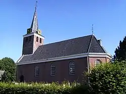 Langezwaag church | |
 Coat of arms | |
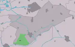 Location in Opsterland municipality | |
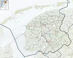 Langezwaag Location in the Netherlands 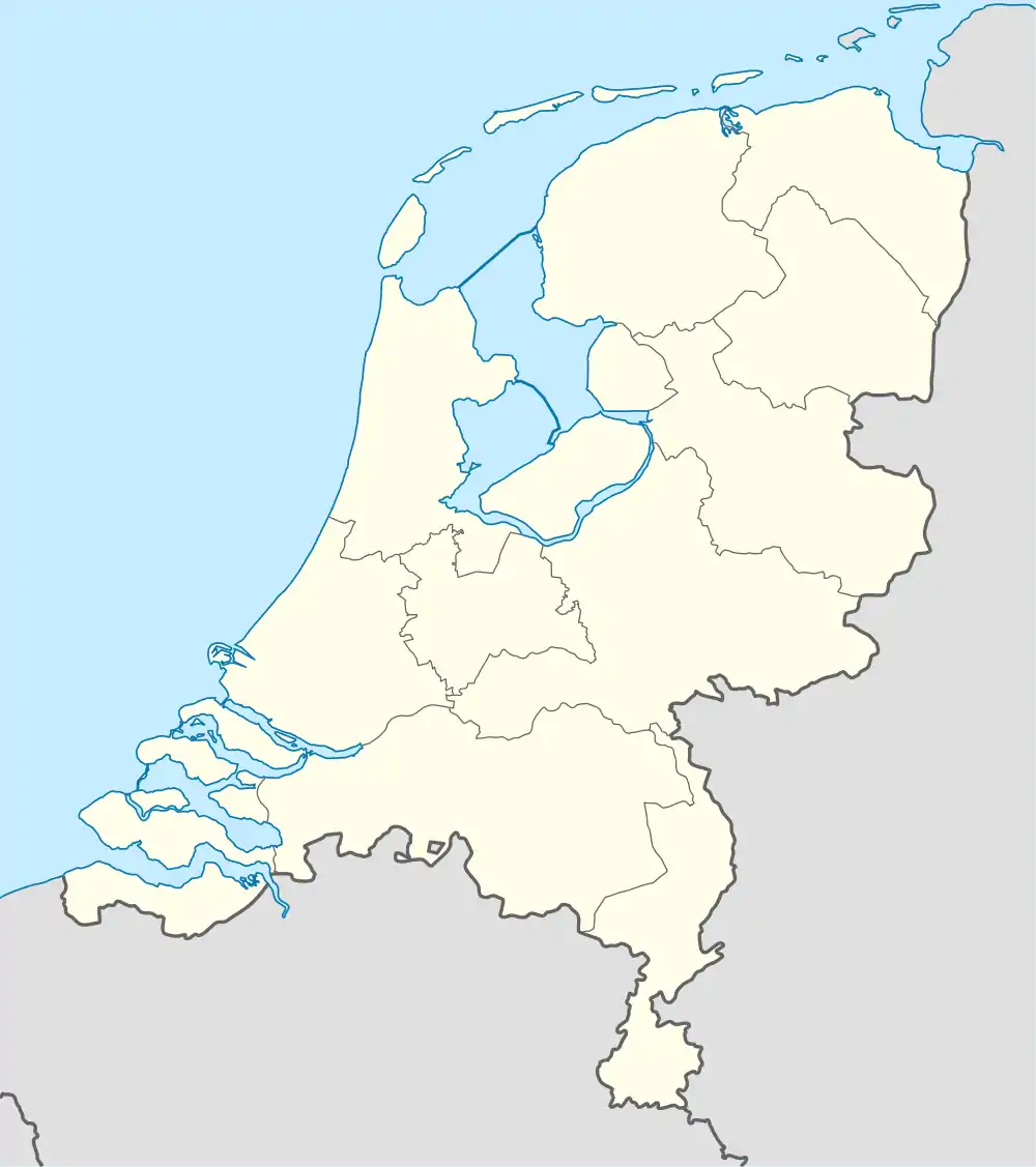 Langezwaag Langezwaag (Netherlands) | |
| Coordinates: 52°58′59″N 6°0′16″E / 52.98306°N 6.00444°E | |
| Country | |
| Province | |
| Municipality | |
| Area | |
| • Total | 13.17 km2 (5.08 sq mi) |
| Elevation | 0.5 m (1.6 ft) |
| Population (2021)[1] | |
| • Total | 1,050 |
| • Density | 80/km2 (210/sq mi) |
| Postal code | 8404[1] |
| Dialing code | 0513 |
Langezwaag (West Frisian: Langsweagen) is a village in the municipality of Opsterland in the east of Friesland, the Netherlands. It had a population of around 1,365 in January 2017.[3]
The village was first mentioned in 1315 as Utresuagh, and means "long meadow with caddle". Lange (long) has been added to distinguish from Kortezwaag.[4] Kortezwaag was annexed by Gorredijk in 1962 and is now a neighbourhood.[5] The Dutch Reformed church was built in 1781 as a replacement of a medieval church.
Langezwaag was home to 956 people in 1840.[6]
Gallery
 Welcome to Langezwaag
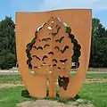 The tree of Langezwaag
References
- 1 2 3 "Kerncijfers wijken en buurten 2021". Central Bureau of Statistics. Retrieved 2 April 2022.
- ↑ "Postcodetool for 8404BJ". Actueel Hoogtebestand Nederland (in Dutch). Het Waterschapshuis. Retrieved 2 April 2022.
- ↑ Kerncijfers wijken en buurten 2017 - CBS Statline
- ↑ "Langezwaag". Etymologiebank (in Dutch). Retrieved 2 April 2022.
- ↑ "Kortezwaag". Plaatsengids (in Dutch). Retrieved 2 April 2022.
- ↑ "Langezwaag". Plaatsengids (in Dutch). Retrieved 2 April 2022.
![]() Media related to Langezwaag at Wikimedia Commons
Media related to Langezwaag at Wikimedia Commons
This article is issued from Wikipedia. The text is licensed under Creative Commons - Attribution - Sharealike. Additional terms may apply for the media files.