Lambton | |
|---|---|
 | |
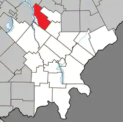 Location within Le Granit RCM | |
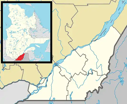 Lambton Location in southern Quebec | |
| Coordinates: 45°50′N 71°05′W / 45.83°N 71.08°W[1] | |
| Country | |
| Province | |
| Region | Estrie |
| RCM | Le Granit |
| Constituted | December 23, 1976 |
| Government | |
| • Mayor | Ghislain Bolduc |
| • Federal riding | Mégantic—L'Érable |
| • Prov. riding | Mégantic |
| Area | |
| • Total | 124.70 km2 (48.15 sq mi) |
| • Land | 108.34 km2 (41.83 sq mi) |
| Population | |
| • Total | 1,584 |
| • Density | 14.6/km2 (38/sq mi) |
| • Pop 2006-2011 | |
| • Dwellings | 1,216 |
| Time zone | UTC−5 (EST) |
| • Summer (DST) | UTC−4 (EDT) |
| Postal code(s) | |
| Area code(s) | 418 and 581 |
| Highways | |
| Website | www |
Lambton is a municipality of about 1600 people in Le Granit Regional County Municipality in the Estrie region of Quebec, Canada.
Lambton is mostly rural and agricultural area with some business on the two main roads in town.
Transportation
The main roads connecting Lambton are Route 108 and Route 263.
References
- ↑ "Banque de noms de lieux du Québec: Reference number 80867". toponymie.gouv.qc.ca (in French). Commission de toponymie du Québec.
- 1 2 "Répertoire des municipalités: Geographic code 30095". www.mamh.gouv.qc.ca (in French). Ministère des Affaires municipales et de l'Habitation.
- 1 2 "Lambton, Quebec (Code 2430095) Census Profile". 2011 census. Government of Canada - Statistics Canada.
External links
 Media related to Lambton, Quebec at Wikimedia Commons
Places adjacent to Lambton, Quebec | |
|---|---|
| Cities | |
|---|---|
| Municipalities | |
| Parishes | |
| Townships | |
| |
This article is issued from Wikipedia. The text is licensed under Creative Commons - Attribution - Sharealike. Additional terms may apply for the media files.