Lamar, West Virginia | |
|---|---|
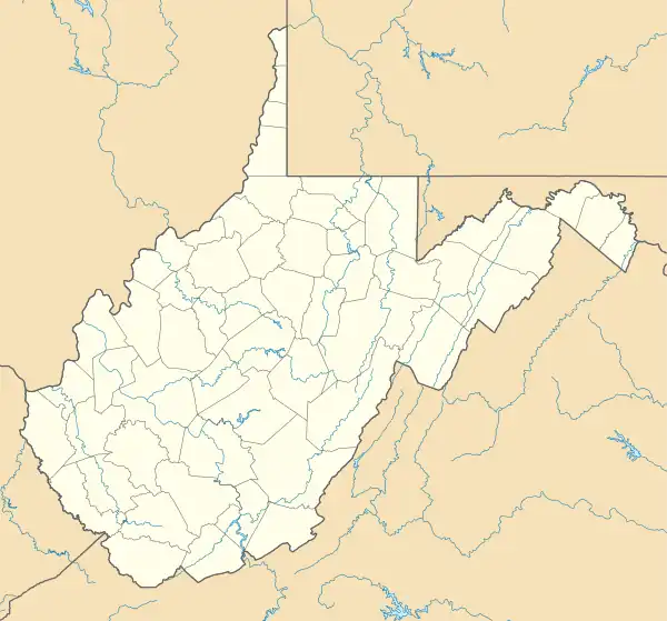 Lamar, West Virginia Location within the state of West Virginia  Lamar, West Virginia Lamar, West Virginia (the United States) | |
| Coordinates: 37°27′14″N 81°18′17″W / 37.45389°N 81.30472°W | |
| Country | United States |
| State | West Virginia |
| Counties | Mercer and Wyoming |
| Elevation | 2,713 ft (827 m) |
| Time zone | UTC-5 (Eastern (EST)) |
| • Summer (DST) | UTC-4 (EDT) |
| Area code(s) | 304 & 681 |
| GNIS feature ID | 1554904[1] |
Lamar is an unincorporated community in Mercer and Wyoming counties, West Virginia, United States. Lamar is 4 miles (6.4 km) northwest of Matoaka. It was also known as Algonquin.
The community most likely was named after the Lamar family.[2]
References
- ↑ U.S. Geological Survey Geographic Names Information System: Lamar, West Virginia
- ↑ Kenny, Hamill (1945). West Virginia Place Names: Their Origin and Meaning, Including the Nomenclature of the Streams and Mountains. Piedmont, WV: The Place Name Press. p. 358.
Municipalities and communities of Mercer County, West Virginia, United States | ||
|---|---|---|
| Cities | 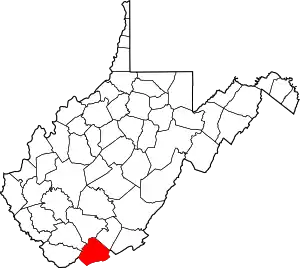 Mercer County map | |
| Towns | ||
| CDPs | ||
| Other communities |
| |
| Ghost town | ||
| Footnotes | ‡This populated place also has portions in an adjacent county or counties | |
Municipalities and communities of Wyoming County, West Virginia, United States | ||
|---|---|---|
| City | 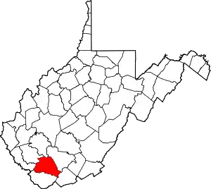 Map of West Virginia highlighting Wyoming County | |
| Towns | ||
| CDPs | ||
| Unincorporated communities |
| |
| Footnotes | ‡This populated place also has portions in an adjacent county or counties | |
This article is issued from Wikipedia. The text is licensed under Creative Commons - Attribution - Sharealike. Additional terms may apply for the media files.