Lalo | |
|---|---|
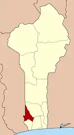
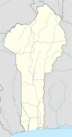 Lalo Location in Benin | |
| Coordinates: 6°55′N 1°53′E / 6.917°N 1.883°E | |
| Country | |
| Department | Kouffo Department |
| Area | |
| • Total | 167 sq mi (432 km2) |
| Population (2013) | |
| • Total | 119,926 |
| Time zone | UTC+1 (WAT) |
Lalo is a town, arrondissement, and commune in the Kouffo Department of south-western Benin. The commune covers an area of 432 square kilometres and as of 2013 had a population of 119,926 people.[1][2]
References
- ↑ "Lalo". Atlas Monographique des Communes du Benin. Retrieved January 5, 2010.
- ↑ "Communes of Benin". Statoids. Archived from the original on March 24, 2012. Retrieved January 5, 2010.
6°55′N 1°53′E / 6.917°N 1.883°E
This article is issued from Wikipedia. The text is licensed under Creative Commons - Attribution - Sharealike. Additional terms may apply for the media files.