La Zarza de Pumareda | |
|---|---|
 Flag  Seal | |
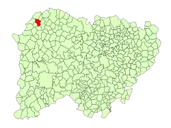 Location in Salamanca | |
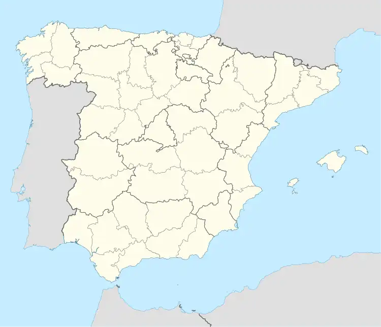 La Zarza de Pumareda Location in Spain | |
| Coordinates: 41°09′46″N 6°37′39″W / 41.16278°N 6.62750°W | |
| Country | Spain |
| Autonomous community | Castile and León |
| Province | Salamanca |
| Comarca | Vitigudino |
| Subcomarca | La Ramajería |
| Government | |
| • Mayor | Francisco Javier Recio Hernández (People's Party) |
| Area | |
| • Total | 28 km2 (11 sq mi) |
| Elevation | 701 m (2,300 ft) |
| Population (2018)[2] | |
| • Total | 148 |
| • Density | 5.3/km2 (14/sq mi) |
| Time zone | UTC+1 (CET) |
| • Summer (DST) | UTC+2 (CEST) |
| Postal code | 37253 |
La Zarza de Pumareda is a village and municipality in the province of Salamanca, western Spain, part of the autonomous community of Castile and León.
See also
References
- 1 2 "Municipio:Zarza de Pumareda (La)". www.lasalina.es. Retrieved 2017-10-28.
- ↑ Municipal Register of Spain 2018. National Statistics Institute.
This article is issued from Wikipedia. The text is licensed under Creative Commons - Attribution - Sharealike. Additional terms may apply for the media files.