Kwamsisi
| |
|---|---|
| Kata ya Kwamsisi, Wilaya ya Korogwe Mjini | |
 Kwamsisi | |
| Coordinates: 5°52′19.92″S 38°34′21.36″E / 5.8722000°S 38.5726000°E | |
| Country | |
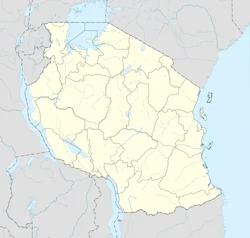
| Region | Tanga Region |
| District | Korogwe Urban District |
| Area | |
| • Total | 61.5 km2 (23.7 sq mi) |
| Elevation | 323 m (1,060 ft) |
| Population (2012) | |
| • Total | 5,813 |
| • Density | 95/km2 (240/sq mi) |
| Ethnic groups | |
| • Settler | Swahili |
| • Ancestral | Shambaa |
Kwamsisi is an administrative ward in Korogwe Urban District of Tanga Region in Tanzania. The ward covers an area of 61.5 km2 (23.7 sq mi),[1] and has an average elevation of 323 m (1,060 ft).[2] According to the 2012 census, the ward has a total population of 5,813.[3]
References
- ↑ "Tanzania: Northern Zone Tanzania (Districts and Wards) – Population Statistics, Charts and Map".
- ↑ "Kwamsisi Elevation".
- ↑ "2012 Population and Housing Census General Report" (PDF). Government of Tanzania. Retrieved 2022-06-04.
This article is issued from Wikipedia. The text is licensed under Creative Commons - Attribution - Sharealike. Additional terms may apply for the media files.