Kuum-Ni Airport | |||||||||||
|---|---|---|---|---|---|---|---|---|---|---|---|
| Summary | |||||||||||
| Airport type | Military | ||||||||||
| Serves | Tongchon, North Korea | ||||||||||
| Elevation AMSL | 66 ft / 20 m | ||||||||||
| Coordinates | 38°52′01.00″N 127°54′20.10″E / 38.8669444°N 127.9055833°E | ||||||||||
| Map | |||||||||||
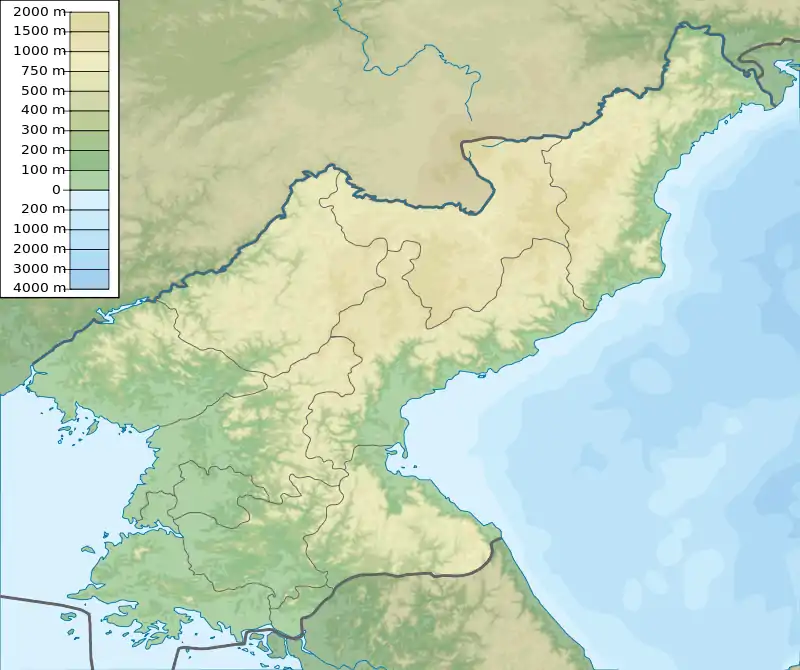 Kuum Ni  Kuum Ni  Kuum Ni .svg.png.webp) Kuum Ni | |||||||||||
| Runways | |||||||||||
| |||||||||||
| Kuum Ni Airport | |
| Chosŏn'gŭl | 구읍리비행장 |
|---|---|
| Hancha | |
| Revised Romanization | Gueum-ni bihaengjang |
| McCune–Reischauer | Kuŭm-ni pihaengjang |
Kuum-Ni is an airport near Kuŭm-ni (Kuŭp-ri), in Tongchon, Kangwon-do province, North Korea.
Facilities
The airfield has a single concrete runway 06/24 measuring 8150 x 130 feet (2484 x 40 m).[1][2] It has a full-length parallel taxiway, and several taxiways extending southwest to dispersed aircraft aprons and shelters carved out of a nearby hill.
References
- ↑ Landings database page "Landings.Com", accessed 12 Aug 2010,
- ↑ Globalsecurity.org "Air Bases - Kuum-ni", accessed 12 Aug 2010,
This article is issued from Wikipedia. The text is licensed under Creative Commons - Attribution - Sharealike. Additional terms may apply for the media files.