Kunice | |
|---|---|
 View from the south | |
.svg.png.webp) Flag _CoA.jpg.webp) Coat of arms | |
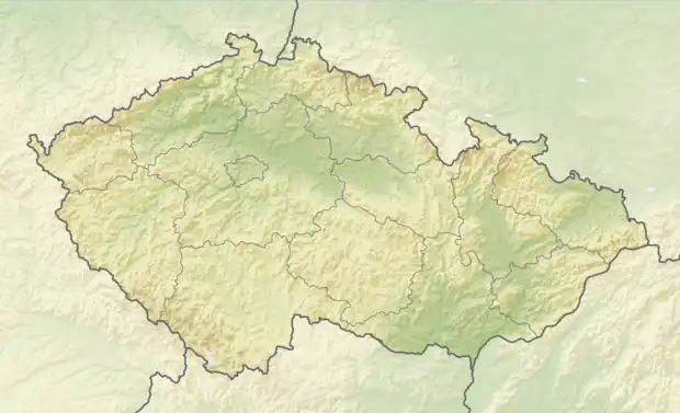 Kunice Location in the Czech Republic | |
| Coordinates: 49°28′44″N 16°29′27″E / 49.47889°N 16.49083°E | |
| Country | |
| Region | South Moravian |
| District | Blansko |
| First mentioned | 1349 |
| Area | |
| • Total | 3.74 km2 (1.44 sq mi) |
| Elevation | 536 m (1,759 ft) |
| Population (2023-01-01)[1] | |
| • Total | 190 |
| • Density | 51/km2 (130/sq mi) |
| Time zone | UTC+1 (CET) |
| • Summer (DST) | UTC+2 (CEST) |
| Postal code | 679 71 |
| Website | www |
Kunice is a municipality and village in Blansko District in the South Moravian Region of the Czech Republic. It has about 200 inhabitants.
Kunice lies approximately 18 kilometres (11 mi) north-west of Blansko, 33 km (21 mi) north of Brno, and 164 km (102 mi) south-east of Prague.
References
Wikimedia Commons has media related to Kunice (Blansko District).
This article is issued from Wikipedia. The text is licensed under Creative Commons - Attribution - Sharealike. Additional terms may apply for the media files.