Knínice | |
|---|---|
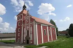 Church of the Exaltation of the Holy Cross | |
 Flag 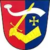 Coat of arms | |
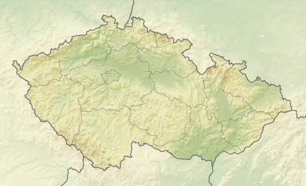 Knínice Location in the Czech Republic | |
| Coordinates: 49°5′39″N 15°36′15″E / 49.09417°N 15.60417°E | |
| Country | |
| Region | Vysočina |
| District | Jihlava |
| First mentioned | 1262 |
| Area | |
| • Total | 10.65 km2 (4.11 sq mi) |
| Elevation | 541 m (1,775 ft) |
| Population (2023-01-01)[1] | |
| • Total | 196 |
| • Density | 18/km2 (48/sq mi) |
| Time zone | UTC+1 (CET) |
| • Summer (DST) | UTC+2 (CEST) |
| Postal code | 588 56 |
| Website | www |
Knínice (Czech pronunciation: [ˈkɲiːɲɪtsɛ]; German: Kinitz) is a municipality and village in Jihlava District in the Vysočina Region of the Czech Republic. It has about 200 inhabitants.
Knínice lies approximately 34 kilometres (21 mi) south of Jihlava and 140 km (87 mi) south-east of Prague.
Administrative parts
The village of Bohusoudov is an administrative part of Knínice.
References
Wikimedia Commons has media related to Knínice.
This article is issued from Wikipedia. The text is licensed under Creative Commons - Attribution - Sharealike. Additional terms may apply for the media files.