Juan Simons Vela Airport | |||||||||||
|---|---|---|---|---|---|---|---|---|---|---|---|
| Summary | |||||||||||
| Airport type | Public | ||||||||||
| Operator | CORPAC S.A. | ||||||||||
| Serves | Rioja, Perú | ||||||||||
| Elevation AMSL | 2,707 ft / 825 m | ||||||||||
| Coordinates | 6°04′05″S 77°09′35″W / 6.06806°S 77.15972°W | ||||||||||
| Map | |||||||||||
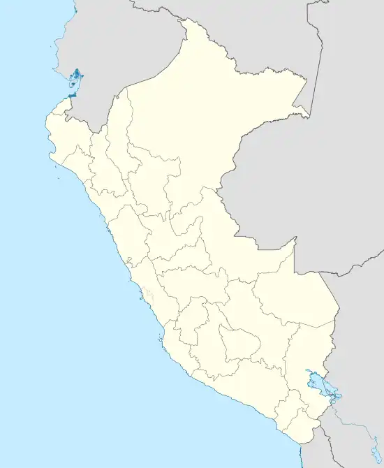 RIJ Location of the airport in Perú | |||||||||||
| Runways | |||||||||||
| |||||||||||
Juan Simons Vela Airport (IATA: RIJ, ICAO: SPJA) is an airport serving Rioja, San Martín Region, Perú.
The Rioja non-directional beacon (Ident: RIO) is located 1.8 nautical miles (3.3 km) off the threshold of runway 16.[4]
Airlines and Destinations
| Airlines | Destinations |
|---|---|
| Saeta Peru | Jaén, Tarapoto |
See also
References
- ↑ "Aeródromos autorizados en el Departamento de San Martín" [Authorised aerodromes in the San Martín Department]. Direccion General de Aeronautica Civil (DGAC) (in Spanish). Archived from the original on 2012-02-19. Retrieved 2 March 2012.
- ↑ "Airport information for SPJA". World Aero Data. Archived from the original on 2019-03-05.
{{cite web}}: CS1 maint: unfit URL (link) Data current as of October 2006. - ↑ Google Maps - Rioja
- ↑ SkyVector Aeronautical Charts
External links
- Airports infrastructure – Peruvian Ministry of Infrastructure and Communications (in Spanish)
- OpenStreetMap - Rioja
- Airport information for Juan Simons Vela Airport at Great Circle Mapper.
- OurAirports - Rioja
- Accident history for Rioja Airport at Aviation Safety Network
This article is issued from Wikipedia. The text is licensed under Creative Commons - Attribution - Sharealike. Additional terms may apply for the media files.