| John M. Bethea State Forest | |
|---|---|
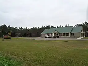 Office for the John M. Bethea State Forest | |
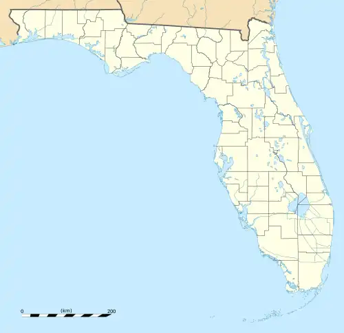 Location in Florida  Location in United States | |
| Location | Baker County, Florida |
| Nearest city | Sanderson, Florida |
| Coordinates | 30°30′N 82°19′W / 30.50°N 82.31°W |
| Area | 37,736 acres (152.71 km2) |
| Established | 2001 |
| Governing body | Florida Department of Agriculture and Consumer Services and the Florida Forest Service |
John M. Bethea State Forest is a 37,736-acre state forest in Sanderson, Florida, in northern Baker County near the Florida/Georgia border. It provides a wildlife corridor between the Okefenokee National Wildlife Refuge and the Osceola National Forest. The area was acquired by the State of Florida in 2001, and was named after a member of the forestry department who served between 1970 and 1987.[1]
See also
References
- ↑ John M. Bethea State Forest Florida Forest Service
External links
- John M. Bethea State Forest - official site
- U.S. Geological Survey Map at the U.S. Geological Survey Map Website. Retrieved January 6th, 2023.
This article is issued from Wikipedia. The text is licensed under Creative Commons - Attribution - Sharealike. Additional terms may apply for the media files.