Jahanabad
Jahānābād | |
|---|---|
Village | |
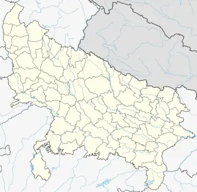 Jahanabad Location in Uttar Pradesh, India 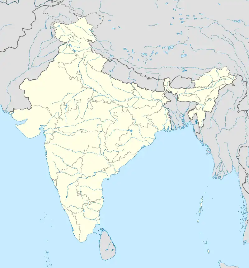 Jahanabad Jahanabad (India) | |
| Coordinates: 26°41′03″N 80°50′43″E / 26.684105°N 80.845175°E[1] | |
| Country | |
| State | Uttar Pradesh |
| District | Lucknow |
| Area | |
| • Total | 0.439 km2 (0.169 sq mi) |
| Population (2011)[2] | |
| • Total | 454 |
| • Density | 1,000/km2 (2,700/sq mi) |
| Languages | |
| • Official | Hindi |
| Time zone | UTC+5:30 (IST) |
Jahanabad is a village in Sarojaninagar block of Lucknow district, Uttar Pradesh, India.[2] As of 2011, its population was 454, in 80 households.[2] The village lands cover an area of 43.9 hectares, of which 34.7 (79.0%) were farmland as of 2011, while areas under non-agricultural uses covered 6.6 hectares, or 15.0% of the total village area.[2] It is part of the gram panchayat of Kishunpur Kodia.[3]
References
- ↑ Search for "Jahanabad" here https://geonames.nga.mil/namesgaz/.
{{cite web}}: Missing or empty|title=(help) - 1 2 3 4 5 "Census of India 2011: Uttar Pradesh District Census Handbook - Lucknow, Part A (Village and Town Directory)". Census 2011 India. pp. 166–183. Retrieved 19 April 2021.
- ↑ "Villages | District Lucknow , Government of Uttar Pradesh | India". lucknow.nic.in.
This article is issued from Wikipedia. The text is licensed under Creative Commons - Attribution - Sharealike. Additional terms may apply for the media files.