Jabhala | |
|---|---|
village | |
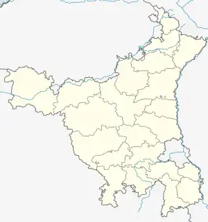 Jabhala Location in Haryana, India 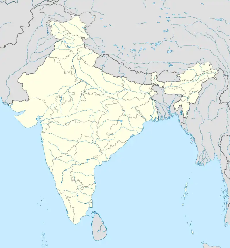 Jabhala Jabhala (India) | |
| Coordinates: 29°33′N 76°40′E / 29.55°N 76.66°E | |
| Country | |
| State | Haryana |
| District | Karnal |
| Elevation | 237 m (778 ft) |
| Languages | |
| • Official | Hindi |
| Time zone | UTC+5:30 (IST) |
| Telephone code | +91-01745-XXXXXX |
| Vehicle registration | HR-05 |
| Sex Ratio | 904:1000 ♂/♀ |
| Website | haryana |
Jabhala is a village in Assandh mandal in Karnal district of Haryana, India.[1][2] It is about 2.85 km from the village of Rangrutti Khera.
References
- ↑ "Welcome to Jabhala Village (Karnal) Haryana". www.haryana21.com. Retrieved 21 May 2023.
- ↑ "Jhabala Population 2023, Village in Assandh Tehsil". www.indiagrowing.com. Retrieved 21 May 2023.
This article is issued from Wikipedia. The text is licensed under Creative Commons - Attribution - Sharealike. Additional terms may apply for the media files.