| Ironbark Ipswich, Queensland | |||||||||||||||
|---|---|---|---|---|---|---|---|---|---|---|---|---|---|---|---|
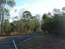 Beethams Road, 2014 | |||||||||||||||
 Ironbark | |||||||||||||||
| Coordinates | 27°33′20″S 152°40′30″E / 27.5555°S 152.6750°E | ||||||||||||||
| Population | 604 (2016 census)[1] | ||||||||||||||
| • Density | 40.00/km2 (103.6/sq mi) | ||||||||||||||
| Postcode(s) | 4306 | ||||||||||||||
| Area | 15.1 km2 (5.8 sq mi) | ||||||||||||||
| Time zone | AEST (UTC+10:00) | ||||||||||||||
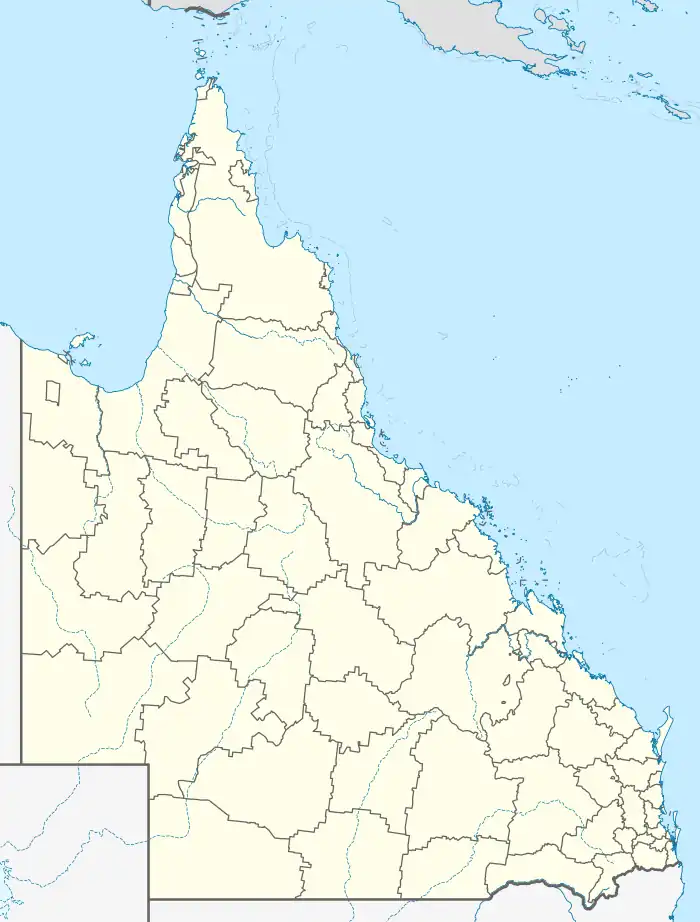
| Location | |||||||||||||||
| LGA(s) | City of Ipswich | ||||||||||||||
| State electorate(s) | Ipswich West | ||||||||||||||
| Federal division(s) | Blair | ||||||||||||||
| |||||||||||||||
Ironbark is a rural locality in the City of Ipswich, Queensland, Australia.[2] In the 2016 census, Ironbark had a population of 604 people.[1]
Geography
The eastern boundary of Ironbark is marked by the Brisbane Valley Highway and the southern boundary follows the Warrego Highway.
References
- 1 2 Australian Bureau of Statistics (27 June 2017). "Ironbark (SSC)". 2016 Census QuickStats. Retrieved 20 October 2018.
- ↑ "Ironbark – locality in City of Ipswich (entry 45052)". Queensland Place Names. Queensland Government. Retrieved 16 November 2019.
External links
Wikimedia Commons has media related to Ironbark, Queensland.
This article is issued from Wikipedia. The text is licensed under Creative Commons - Attribution - Sharealike. Additional terms may apply for the media files.