| Hughes Range | |
|---|---|
.jpeg.webp) Mount Fisher | |
| Highest point | |
| Peak | Mount Fisher[1] |
| Elevation | 2,843 m (9,327 ft)[1] |
| Prominence | 873 m (2,864 ft)[1] |
| Listing | Mountains of British Columbia |
| Coordinates | 49°38′47″N 115°29′04″W / 49.64639°N 115.48444°W[2] |
| Dimensions | |
| Area | 765 km2 (295 sq mi)[3] |
| Geography | |
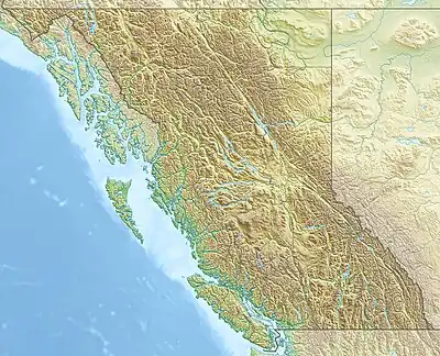 Location of the Hughes Range in SE British Columbia | |
| Country | Canada |
| Province | British Columbia |
| Range coordinates | 49°37′59″N 115°28′03″W / 49.63306°N 115.46750°W[4] |
| Parent range | Kootenay Ranges |
| Topo map | NTS 82G11 Fernie[4] |
The Hughes Range is a subrange of the Kootenay Ranges, located between the Bull and White rivers in the Kootenay Land District, British Columbia, Canada.[4]
References
- 1 2 3 "Mount Fisher". Bivouac.com. Retrieved 2021-06-28.
- ↑ "Mount Fisher". Geographical Names Data Base. Natural Resources Canada. Retrieved 2021-06-28.
- ↑ "Hughes Range". Bivouac.com. Retrieved 2021-06-28.
- 1 2 3 "Hughes Range". BC Geographical Names. Retrieved 2021-06-28.
This article is issued from Wikipedia. The text is licensed under Creative Commons - Attribution - Sharealike. Additional terms may apply for the media files.