Hrpelje | |
|---|---|
 | |
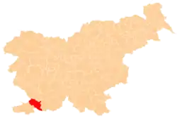
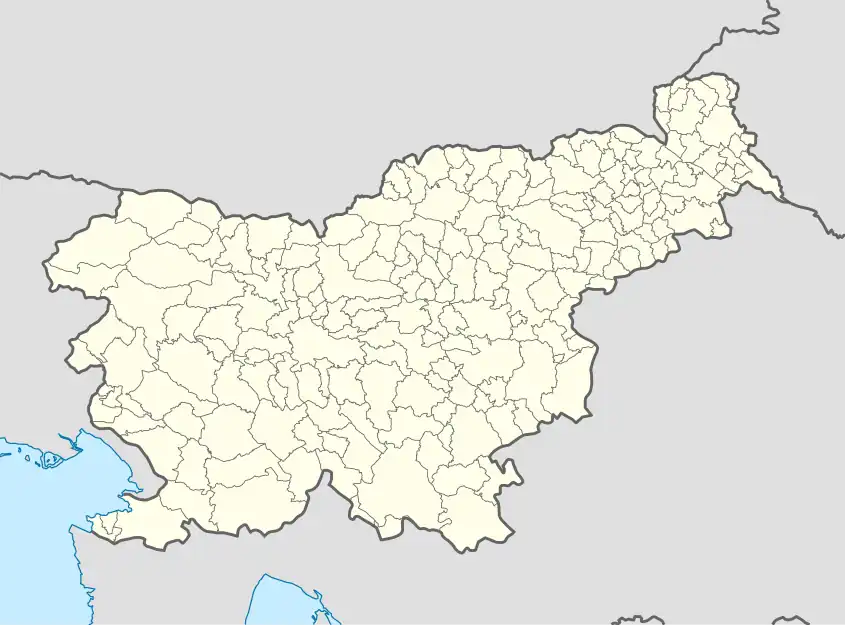 Hrpelje Location in Slovenia | |
| Coordinates: 45°36′11.24″N 13°56′51.94″E / 45.6031222°N 13.9477611°E | |
| Country | |
| Traditional region | Littoral |
| Statistical region | Coastal–Karst |
| Municipality | Hrpelje-Kozina |
| Area | |
| • Total | 5.42 km2 (2.09 sq mi) |
| Elevation | 502 m (1,647 ft) |
| Population (2002) | |
| • Total | 665 |
| [1] | |
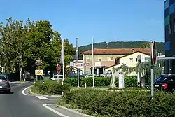
Hrpelje (pronounced [xəɾˈpeːljɛ] ⓘ, in older sources Herpelje;[2] Italian: Erpelle) is a settlement in the Municipality of Hrpelje-Kozina in the Littoral region of Slovenia. It is the administrative center of the municipality.[3]
Name
Hrpelje was attested in historical sources as Herpelie and Herpelye in 1763–1787. The name may be derived from the plural demonym *Vьrpeľane based on the common noun *vьrpa 'sinkhole', thus originally meaning 'people living near a sinkhole'. If so, the initial H- is prothetic.[4]
Church
The parish church in the settlement is dedicated to Saint Anthony the Hermit and belongs to the Koper Diocese.[5]
References
- ↑ Statistical Office of the Republic of Slovenia
- ↑ Spezialortsrepertorium der österreichischen Länder. Bearbeitet auf Grund der Ergebnisse der Volkszählung vom 31. Dezember 1910, vol. 7: Österreichisch-Illyrisches Küstenland. Vienna: K. k. Hof- und Staatsdruckerei. 1918. p. 60.
- ↑ Hrpelje-Kozina municipal site Archived 2008-12-18 at the Wayback Machine
- ↑ Snoj, Marko (2009). Etimološki slovar slovenskih zemljepisnih imen. Ljubljana: Modrijan. p. 164.
- ↑ Roman Catholic Diocese of Koper List of Churches May 2008 Archived 2009-03-06 at the Wayback Machine
External links
 Media related to Hrpelje at Wikimedia Commons
- Hrpelje on Geopedia
| Settlements | Administrative seat: Hrpelje
|  |
|---|---|---|
| Landmarks |
| |
This article is issued from Wikipedia. The text is licensed under Creative Commons - Attribution - Sharealike. Additional terms may apply for the media files.