Hrar
حرار | |
|---|---|
village | |
 Hrar | |
| Coordinates: 34°27′25″N 36°07′21″E / 34.45694°N 36.12250°E | |
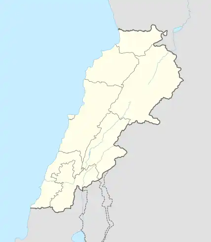
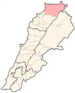
| Country | |
| Governorate | Akkar |
| District | Akkar |
| Area | |
| • Total | 7.67 km2 (2.96 sq mi) |
| Elevation | 880 m (2,890 ft) |
| Population (2009)[2] | |
| • Total | 2,306 eligible voters |
| Time zone | UTC+2 (EET) |
| • Summer (DST) | UTC+3 (EEST) |
| Dialing code | +961 |
Hrar (Arabic: حرار) is a village in Akkar Governorate, Lebanon.
The population of Hrar is mainly Sunni Muslim.[2]
History
In 1838, Eli Smith noted the village as Harar, whose inhabitants were Sunni Muslims, located south of esh-Sheikh Mohammed.[3]
In 1856 it was named Harar on Kiepert's map of Palestine/Lebanon published that year.[4]
References
- 1 2 Hrar, Localiban
- 1 2 "Municipal and ikhtiyariah elections in Northern Lebanon" (PDF). The Monthly. March 2010. pp. 17, 21. Archived from the original on 3 June 2016. Retrieved 17 August 2021.
{{cite web}}: CS1 maint: bot: original URL status unknown (link) - ↑ Robinson and Smith, 1841, vol 3, 2nd appendix, p. 186
- ↑ Kiepert, 1856, Map of Northern Palestine/Lebanon
Bibliography
External links
- Hrar, Localiban
Capital: Halba | ||||||||||||||||
| Villages |
|  | ||||||||||||||
This article is issued from Wikipedia. The text is licensed under Creative Commons - Attribution - Sharealike. Additional terms may apply for the media files.