Hof bei Straden | |
|---|---|
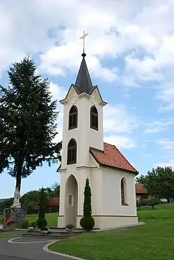 Chapel in Neusetz (part of Hof bei Straden) | |
 Coat of arms | |
 Hof bei Straden Location within Austria | |
| Coordinates: 46°48′02″N 15°53′40″E / 46.80056°N 15.89444°E | |
| Country | Austria |
| State | Styria |
| District | Südoststeiermark |
| Government | |
| • Mayor | Richard Pock (BLH) |
| Area | |
| • Total | 17.18 km2 (6.63 sq mi) |
| Elevation | 250 m (820 ft) |
| Population (1 January 2016)[1] | |
| • Total | 880 |
| • Density | 51/km2 (130/sq mi) |
| Time zone | UTC+1 (CET) |
| • Summer (DST) | UTC+2 (CEST) |
| Postal code | 8345 |
| Area code | 03473 |
| Vehicle registration | RA |
| Website | www.hof-straden.steiermark.at |
Hof bei Straden is a former municipality in the district of Südoststeiermark in Austrian state of Styria. Since the 2015 Styria municipal structural reform, it is part of the municipality Straden.[2]
Population
| Year | Pop. | ±% |
|---|---|---|
| 1869 | 1,386 | — |
| 1880 | 1,428 | +3.0% |
| 1890 | 1,531 | +7.2% |
| 1900 | 1,390 | −9.2% |
| 1910 | 1,392 | +0.1% |
| 1923 | 1,348 | −3.2% |
| 1934 | 1,281 | −5.0% |
| 1939 | 1,188 | −7.3% |
| 1951 | 1,126 | −5.2% |
| 1961 | 1,088 | −3.4% |
| 1971 | 1,031 | −5.2% |
| 1981 | 944 | −8.4% |
| 1991 | 886 | −6.1% |
| 2001 | 890 | +0.5% |
| 2012 | 880 | −1.1% |
References
This article is issued from Wikipedia. The text is licensed under Creative Commons - Attribution - Sharealike. Additional terms may apply for the media files.