| Hkusam Mountain | |
|---|---|
 Hkusam Mountain 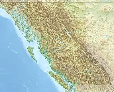 Hkusam Mountain Hkusam Mountain (British Columbia) | |
| Highest point | |
| Elevation | 1,671 m (5,482 ft) |
| Prominence | 1,534 m (5,033 ft) |
| Listing | |
| Coordinates | 50°20′05″N 125°50′27″W / 50.33472°N 125.84083°W[1] |
| Naming | |
| Pronunciation | /ˈkuːsəm/ KOO-səm |
| Geography | |
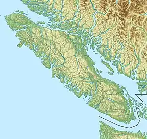
| Location | Vancouver Island, British Columbia, Canada |
| District | Sayward Land District |
| Parent range | Prince of Wales Range |
| Topo map | NTS 92K5 Sayward[1] |
Hkusam Mountain is a mountain on the northeast coast of Vancouver Island, British Columbia, Canada, located 10 km (6 mi) southeast of Sayward and 36 km (22 mi) northeast of Victoria Peak.[2]
The name of the mountain is derived from the Kʼómoks word for "having fat or oil", probably a reference to the proximity of the Salmon River.[3]
See also
References
- 1 2 "Hkusam Mountain". Geographical Names Data Base. Natural Resources Canada. Retrieved 2021-05-13.
- ↑ "Hkusam Mountain". Bivouac.com. Retrieved 2021-05-13.
- ↑ Akrigg, G. P. (Philip) V.; Akrigg, Helen (2011-11-01). British Columbia Place Names: Third Edition. UBC Press. ISBN 978-0-7748-4170-2.
External links
This article is issued from Wikipedia. The text is licensed under Creative Commons - Attribution - Sharealike. Additional terms may apply for the media files.