Hillside Colony, Montana | |
|---|---|
 Hillside Colony  Hillside Colony | |
| Coordinates: 48°58′44″N 112°4′7″W / 48.97889°N 112.06861°W | |
| Country | United States |
| State | Montana |
| County | Toole |
| Area | |
| • Total | 0.33 sq mi (0.87 km2) |
| • Land | 0.33 sq mi (0.87 km2) |
| • Water | 0.00 sq mi (0.00 km2) |
| Elevation | 3,595 ft (1,096 m) |
| Population (2020) | |
| • Total | 0 |
| • Density | 0.00/sq mi (0.00/km2) |
| Time zone | UTC-7 (Mountain (MST)) |
| • Summer (DST) | UTC-6 (MDT) |
| ZIP Code | 59482 (Sunburst) |
| Area code | 406 |
| FIPS code | 30-36385 |
| GNIS feature ID | 2806675[2] |
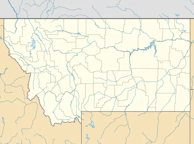
Hillside Colony is a Hutterite community[3] and census-designated place (CDP) in Toole County, Montana, United States. It is in the northwest corner of the county, 5 miles (8 km) west of Interstate 15 at Sweet Grass and 1 mile (1.6 km) south of the Canadian border.
Hillside Colony was first listed as a CDP prior to the 2020 census.[2]
Demographics
| Census | Pop. | Note | %± |
|---|---|---|---|
| 2020 | 0 | — | |
| U.S. Decennial Census[4] | |||
References
- ↑ "ArcGIS REST Services Directory". United States Census Bureau. Retrieved September 5, 2022.
- 1 2 "Hillside Colony Census Designated Place". Geographic Names Information System. United States Geological Survey, United States Department of the Interior.
- ↑ Morton, Claudette, ed. (2010). Essential Understandings of Montana Hutterites: A Resource for Educators and Students (PDF). Montana Office of Public Instruction. p. 2. Retrieved June 16, 2021.
- ↑ "Census of Population and Housing". Census.gov. Retrieved June 4, 2016.
Municipalities and communities of Toole County, Montana, United States | ||
|---|---|---|
| City | 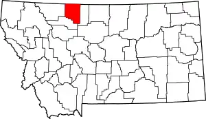 Toole County map | |
| Towns | ||
| CDPs | ||
| Other communities | ||
This article is issued from Wikipedia. The text is licensed under Creative Commons - Attribution - Sharealike. Additional terms may apply for the media files.