Hiji
日出町 | |
|---|---|
Town | |
 Flag  Emblem | |
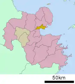 Location of Hiji in Ōita Prefecture | |
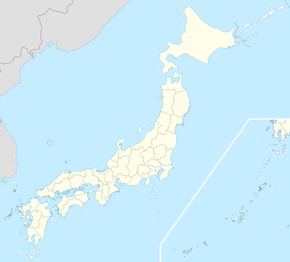 Hiji Location in Japan | |
| Coordinates: 33°22′N 131°32′E / 33.367°N 131.533°E | |
| Country | Japan |
| Region | Kyushu |
| Prefecture | Ōita Prefecture |
| District | Hayami |
| Area | |
| • Total | 73.32 km2 (28.31 sq mi) |
| Population (March 31, 2017) | |
| • Total | 28,524 |
| • Density | 390/km2 (1,000/sq mi) |
| Time zone | UTC+09:00 (JST) |
| Website | www |
Hiji (日出町, Hiji-machi) is a town located in Hayami District, Ōita Prefecture, Japan. As of March 2017, the town has an estimated population of 28,524 and the density of 390 persons per km2. The total area is 73.32 km2.[1]
Geography
Hiji is located within the eastern part of Ōita Prefecture and borders with the Beppu Bay.
Neighbouring municipalities
Transportation
Railway
Highways
- Ōita Expressway
- Higashikyushu Expressway
- Japan national routes
Places of interests
The town has a trappist monastery and is also the home of Sanrio's Harmonyland theme park.
References
- ↑ "Official website of Hiji town" (in Japanese). Japan: Hiji town. Retrieved 22 April 2017.
External links
 Media related to Hiji, Ōita at Wikimedia Commons
- Town of Hiji (in Japanese)
| Core city | ||
|---|---|---|
| Cities | ||
| Districts | ||
This article is issued from Wikipedia. The text is licensed under Creative Commons - Attribution - Sharealike. Additional terms may apply for the media files.