Herttoniemen teollisuusalue
Hertonäs industriområde | |
|---|---|
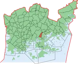 Position of Herttoniemen teollisuusalue within Helsinki | |
| Coordinates: 60°11′54″N 25°02′27″E / 60.198242°N 25.040962°E | |
| Country | |
| Region | Uusimaa |
| Sub-region | Greater Helsinki |
| Municipality | Helsinki |
| District | Southeastern |
| Subdivision regions | is a quarter of the Herttoniemi neighbourhood |
| Area | 0.91 km2 (0.35 sq mi) |
| Population (2005) | 55 |
| • Density | 60/km2 (200/sq mi) |
| Postal codes | 00810, 00811 |
| Subdivision number | 434 |
| Neighbouring subdivisions | Herttoniemenranta Länsi-Herttoniemi Roihuvuori Roihupellon teollisuusalue |
Herttoniemen teollisuusalue (Finnish, Swedish: Hertonäs industriområde) is a southeastern neighborhood of Helsinki, Finland.
This article is issued from Wikipedia. The text is licensed under Creative Commons - Attribution - Sharealike. Additional terms may apply for the media files.