Herkimer, Kansas | |
|---|---|
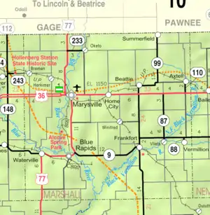 KDOT map of Marshall County (legend) | |
 Herkimer  Herkimer | |
| Coordinates: 39°53′28″N 96°42′40″W / 39.89111°N 96.71111°W[1] | |
| Country | United States |
| State | Kansas |
| County | Marshall |
| Named for | Herkimer, New York |
| Elevation | 1,250 ft (380 m) |
| Population | |
| • Total | 54 |
| Time zone | UTC-6 (CST) |
| • Summer (DST) | UTC-5 (CDT) |
| Area code | 785 |
| FIPS code | 20-31425 |
| GNIS ID | 472670 [1] |
Herkimer is an unincorporated community in Marshall County, Kansas, United States.[1] As of the 2020 census, the population of the community and nearby areas was 54.[2]
History
Herkimer was named after Herkimer, New York.[3] A post office was opened in Herkimer in 1878, and remained in operation until it was discontinued in 1974.[4]
Demographics
| Census | Pop. | Note | %± |
|---|---|---|---|
| 2020 | 54 | — | |
| U.S. Decennial Census | |||
For statistical purposes, the United States Census Bureau has defined this community as a census-designated place (CDP).
Education
The community is served by Marysville USD 364 public school district.
References
- 1 2 3 4 "Herkimer, Kansas", Geographic Names Information System, United States Geological Survey, United States Department of the Interior
- 1 2 "Profile of Herkimer, Kansas (CDP) in 2020". United States Census Bureau. Archived from the original on May 28, 2022. Retrieved May 28, 2022.
- ↑ Blackmar, Frank Wilson (1912). Kansas: A Cyclopedia of State History, Embracing Events, Institutions, Industries, Counties, Cities, Towns, Prominent Persons, Etc. Standard Publishing Company. pp. 839.
- ↑ "Kansas Post Offices, 1828-1961". Kansas Historical Society. Archived from the original on October 9, 2013. Retrieved June 15, 2014.
Further reading
External links
Municipalities and communities of Marshall County, Kansas, United States | ||
|---|---|---|
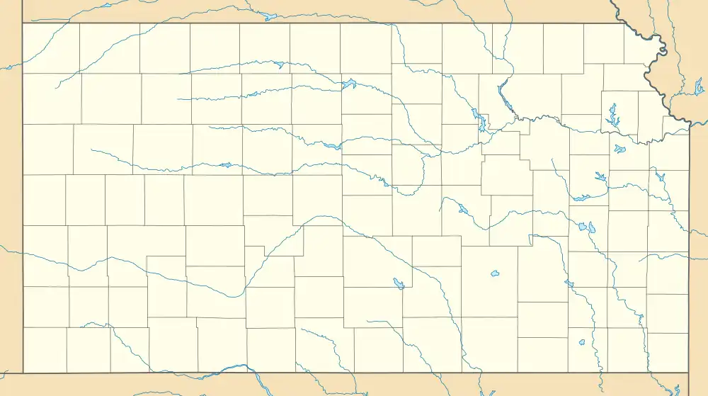
| Cities |  Map of Kansas highlighting Marshall County | |
| Unincorporated communities | ||
| Ghost towns | ||
| Townships | ||
| Footnotes | †This community is designated a Census-Designated Place (CDP) by the United States Census Bureau. | |
This article is issued from Wikipedia. The text is licensed under Creative Commons - Attribution - Sharealike. Additional terms may apply for the media files.