Harzhis
Հարժիս | |
|---|---|
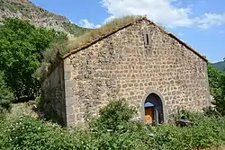 St. Minas Church in Harzhis | |
 Harzhis 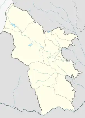 Harzhis | |
| Coordinates: 39°26′00″N 46°13′18″E / 39.43333°N 46.22167°E | |
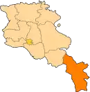
| Country | Armenia |
| Province | Syunik |
| Municipality | Tatev |
| Area | |
| • Total | 33.86 km2 (13.07 sq mi) |
| Population | |
| • Total | 879 |
| • Density | 26/km2 (67/sq mi) |
| Time zone | UTC+4 (AMT) |
| Harzhis at GEOnet Names Server | |
Harzhis (Armenian: Հարժիս) is a village in the Tatev Municipality of the Syunik Province in Armenia.
Demographics
Population
According to the official census in 2011, the population of the village is 879,[2] down from 1,014 in 2010,[3] up from 831 at the 2001 census.[4]
Gallery
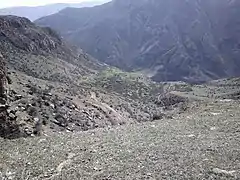 Scenery
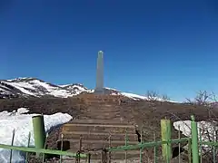 WWII Monument
.jpg.webp) Kotrats caravanserai
Kotrats caravanserai Khatchkar from 1606 in Harzhis
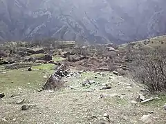 Hin Harzhis
.jpg.webp) Kotrats caravanserai
Kotrats caravanserai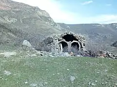 13th-century Alan Tagavor church
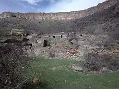 Hin Harzhis
References
Wikimedia Commons has media related to Harzhis.
- ↑ "Syunik regional e-Governance System" (in Armenian). Syunik Province provincial government. Click on link entitled "Համայնքներ" (community) and search for the place by Armenian name.
- 1 2 Statistical Committee of Armenia. "The results of the 2011 Population Census of Armenia" (PDF).
- ↑ "Marzes of Armenia and Yerevan City in Figures, 2010" (PDF). Statistical Committee of Armenia.
- ↑ Report of the results of the 2001 Armenian Census, Statistical Committee of Armenia
External links
This article is issued from Wikipedia. The text is licensed under Creative Commons - Attribution - Sharealike. Additional terms may apply for the media files.