Harsdorf | |
|---|---|
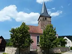 Church of Saint Martin | |
 Coat of arms | |
Location of Harsdorf within Kulmbach district 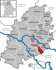 | |
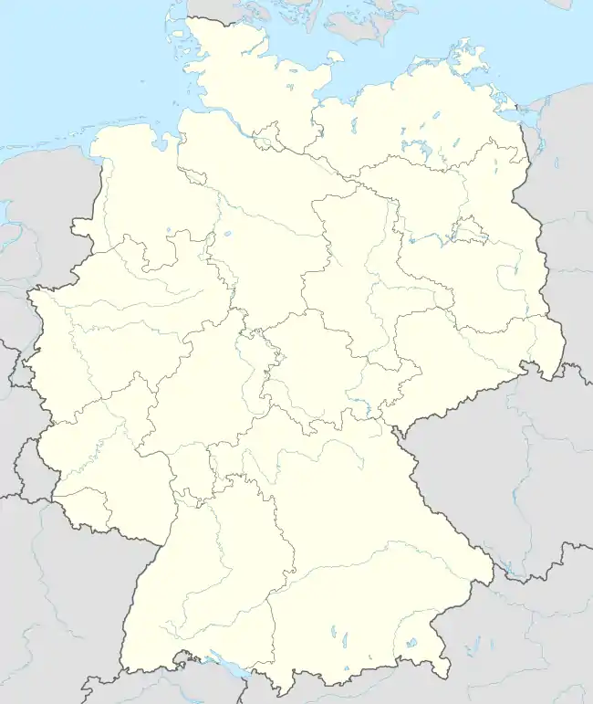 Harsdorf 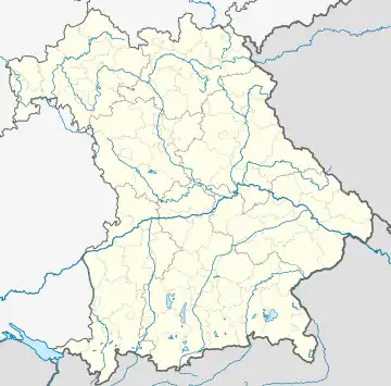 Harsdorf | |
| Coordinates: 50°1′N 11°34′E / 50.017°N 11.567°E | |
| Country | Germany |
| State | Bavaria |
| Admin. region | Oberfranken |
| District | Kulmbach |
| Municipal assoc. | Trebgast |
| Subdivisions | 14 Ortsteile |
| Government | |
| • Mayor (2020–26) | Günther Hübner[1] (CSU) |
| Area | |
| • Total | 10.18 km2 (3.93 sq mi) |
| Elevation | 351 m (1,152 ft) |
| Population (2022-12-31)[2] | |
| • Total | 934 |
| • Density | 92/km2 (240/sq mi) |
| Time zone | UTC+01:00 (CET) |
| • Summer (DST) | UTC+02:00 (CEST) |
| Postal codes | 95499 |
| Dialling codes | 09203 |
| Vehicle registration | KU |
| Website | www.gemeinde-harsdorf.de |
Harsdorf is a municipality in the district of Kulmbach in Bavaria in Germany.
City arrangement
Harsdorf is arranged in the following boroughs:
- Altenreuth
- Brauneck
- Harsdorf
- Haselbach
- Hettersreuth
- Holzlucken
- Lettenhof
- Oberlaitsch /Seyerhaus
- Oberlohe
- Ritterleithen
- Sandreuth
- Unitz
- Unterlohe
- Zettmeisel
References
- ↑ Liste der ersten Bürgermeister/Oberbürgermeister in kreisangehörigen Gemeinden, Bayerisches Landesamt für Statistik, 15 July 2021.
- ↑ Genesis Online-Datenbank des Bayerischen Landesamtes für Statistik Tabelle 12411-003r Fortschreibung des Bevölkerungsstandes: Gemeinden, Stichtag (Einwohnerzahlen auf Grundlage des Zensus 2011)
Towns and municipalities in Kulmbach (district) | ||
|---|---|---|
This article is issued from Wikipedia. The text is licensed under Creative Commons - Attribution - Sharealike. Additional terms may apply for the media files.