Gira | |
|---|---|
Tehsil | |
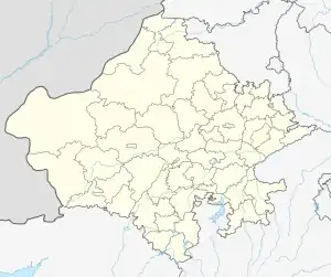 Gira Location in Rajasthan, India  Gira Gira (India) | |
| Coordinates: 25°52′59″N 71°46′0″E / 25.88306°N 71.76667°E | |
| Country | |
| State | Rajasthan |
| District | Balotra |
| Government | |
| • Body | Gram Panchayat |
| Area | |
| • Total | 756.3 ha (1,868.9 acres) |
| Elevation | 164 m (538 ft) |
| Population (2011) | |
| • Total | 803 |
| • Density | 110/km2 (270/sq mi) |
| Languages | |
| • Official | Hindi |
| • Local | Rajasthani • Marwadi |
| Time zone | UTC+5:30 (IST) |
| PIN | 344037 |
| ISO 3166 code | RJ-IN |
| Vehicle registration | RJ-04 |
| Nearest city | Balotra |
| Lok Sabha constituency | Balotra (Lok Sabha constituency) |
| Civic agency | Tehsil |
Gira is a tehsil in Balotra District of Rajasthan State, India. It belongs to Jodhpur Division.[1][2] Gira has a total population of 803 peoples according to Census 2011.[3]
References
- ↑ Govt of Rajasthan. "Blocks/Tehsils/Panchayats". Archived from the original on 7 December 2018. Retrieved 8 December 2018.
- ↑ "Gira Village Population - Baytoo - Barmer, Rajasthan". www.census2011.co.in. Retrieved 16 August 2023.
- ↑ "Basic Population Figures of India, States, Districts, Sub-District and Village, 2011".
This article is issued from Wikipedia. The text is licensed under Creative Commons - Attribution - Sharealike. Additional terms may apply for the media files.