Gilet | |
|---|---|
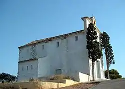 Saint Michael's hermitage, Gilet | |
 Coat of arms | |
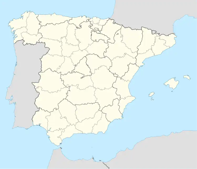 Gilet Location in Spain | |
| Coordinates: 39°40′45″N 0°19′18″W / 39.67917°N 0.32167°W | |
| Country | |
| Autonomous community | |
| Province | Valencia |
| Comarca | Camp de Morvedre |
| Judicial district | Sagunto |
| Government | |
| • Alcalde | María Concepción Borrell Gascón |
| Area | |
| • Total | 11.3 km2 (4.4 sq mi) |
| Elevation | 76 m (249 ft) |
| Population (2018)[1] | |
| • Total | 3,276 |
| • Density | 290/km2 (750/sq mi) |
| Demonym(s) | Giletà, giletana |
| Time zone | UTC+1 (CET) |
| • Summer (DST) | UTC+2 (CEST) |
| Postal code | 46149 |
| Official language(s) | Valencian |
| Website | Official website |
Gilet is a municipality in the comarca of Camp de Morvedre in the Valencian Community, Spain.
References
- ↑ Municipal Register of Spain 2018. National Statistics Institute.
Municipalities of Camp de Morvedre | ||
|---|---|---|

This article is issued from Wikipedia. The text is licensed under Creative Commons - Attribution - Sharealike. Additional terms may apply for the media files.