Garrett County Airport | |||||||||||
|---|---|---|---|---|---|---|---|---|---|---|---|
 Terminal building | |||||||||||
| Summary | |||||||||||
| Airport type | Public | ||||||||||
| Operator | Board of County Commissioners | ||||||||||
| Location | Garrett County, Maryland | ||||||||||
| Elevation AMSL | 2,933 ft / 894 m | ||||||||||
| Coordinates | 39°34′49″N 079°20′22″W / 39.58028°N 79.33944°W | ||||||||||
| Map | |||||||||||
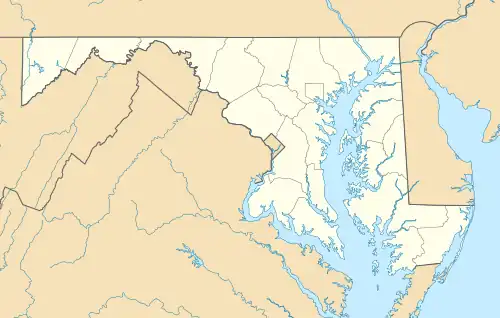 ODM Location of airport in Maryland | |||||||||||
| Runways | |||||||||||
| |||||||||||
Garrett County Airport (IATA: ODM, FAA LID: 2G4) is a public airport located 13 miles (21 km) northeast of the central business district (CBD) of Oakland, a town in Garrett County, Maryland, United States.
Facilities
Garrett County Airport covers 297 acres (120 ha)[2] and has one runway with two GPS instrument approaches:
- Runway 9/27: 5,000 x 75 ft (1,524 x 23 m), surface: asphalt

An Aero L-39 refuels at the Garrett County Airport.
See also
External links
- Resources for this airport:
- FAA airport information for 2G4
- AirNav airport information for 2G4
- FlightAware airport information and live flight tracker
- SkyVector aeronautical chart for 2G4
- Garrett County Airport
References
- ↑ "Airline and Airport Code Search". IATA. Retrieved 5 April 2016.
- ↑ FAA Airport Form 5010 for 2G4 PDF Rettieved September 18, 2021.
This article is issued from Wikipedia. The text is licensed under Creative Commons - Attribution - Sharealike. Additional terms may apply for the media files.