Fresno Crossing | |
|---|---|
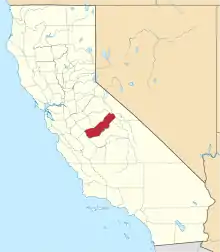
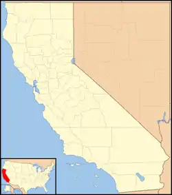 Fresno Crossing Location in California  Fresno Crossing Fresno Crossing (the United States) | |
| Coordinates: 37°14′14″N 119°46′31″W / 37.23722°N 119.77528°W | |
| Country | United States |
| State | California |
| County | Madera County |
| Elevation | 1,102 ft (336 m) |
Fresno Crossing is an unincorporated community in Madera County, California.[1] It is located on the Fresno River 5.5 miles (8.9 km) east-northeast of Knowles,[2] at an elevation of 1102 feet (336 m).[1]
Fresno Crossing was the main crossing point of the Stockton - Los Angeles Road on the Fresno River in the mining region.[2][3]
References
- 1 2 3 U.S. Geological Survey Geographic Names Information System: Fresno Crossing, California
- 1 2 Durham, David L. (1998). California's Geographic Names: A Gazetteer of Historic and Modern Names of the State. Clovis, Calif.: Word Dancer Press. ISBN 1-884995-14-4.
- ↑ Marcy, Captain Randolph Barnes (1859). The Prairie Traveler. United States War Department. p. Itinerary XXI. Archived from the original on October 25, 2002. Retrieved November 30, 2023.
XXI.--From Fort Yuma to Benicia, California. From Lieutenant R. S. WILLIAMSON'S Report.
This article is issued from Wikipedia. The text is licensed under Creative Commons - Attribution - Sharealike. Additional terms may apply for the media files.