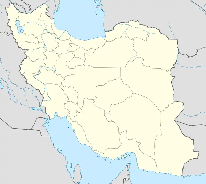
Farahabad-e Shomali Rural District
Persian: دهستان فرحآباد شمالی | |
|---|---|
 Farahabad-e Shomali Rural District | |
| Coordinates: 36°46′43″N 53°04′37″E / 36.77861°N 53.07694°E[1] | |
| Country | Iran |
| Province | Mazandaran |
| County | Sari |
| District | Rudpey-ye Shomali |
| Population (2016)[2] | |
| • Total | 9,670 |
| Time zone | UTC+3:30 (IRST) |
Farahabad-e Shomali Rural District (Persian: دهستان فرحآباد شمالی), formerly Rudpey-e Shomali Rural District (دهستان رودپی شمالی), is in Rudpey-ye Shomali District of Sari County, Mazandaran province, Iran.[3]
At the National Census of 2006, its population (as Rudpey-ye Shomali Rural District of the Central District) was 13,943 in 3,692 households.[4] There were 15,457 inhabitants in 4,070 households at the following census of 2011, by which time it had joined the former Rudpey-ye Jonubi Rural District in the formation of Rudpey District.[5] At the most recent census of 2016, the population of the rural district was 9,670 in 2,586 households, by which time its name had changed to Farahabad-e Shomali Rural District within the newly established Rudpey-ye Shomali District. The largest of its 12 villages was Farahabad (now a city),[6] with 2,217 people.[2]
References
- ↑ OpenStreetMap contributors (30 May 2023). "Farahabad-e Shomali Rural District (Sari County)" (Map). OpenStreetMap. Retrieved 30 May 2023.
- 1 2 "Census of the Islamic Republic of Iran, 1395 (2016)". AMAR (in Persian). The Statistical Center of Iran. p. 02. Archived from the original (Excel) on 7 October 2021. Retrieved 19 December 2022.
- ↑ Rahimi, Mohammad Reza (15 November 2013). "Approval letter regarding country divisions in Rudpey District of Sari County in Mazandaran province". Islamic Parliament Research Center (in Persian). Ministry of Interior, Council of Ministers. Archived from the original on 17 July 2014. Retrieved 29 May 2023.
- ↑ "Census of the Islamic Republic of Iran, 1385 (2006)". AMAR (in Persian). The Statistical Center of Iran. p. 02. Archived from the original (Excel) on 20 September 2011. Retrieved 25 September 2022.
- ↑ "Census of the Islamic Republic of Iran, 1390 (2011)" (Excel). Iran Data Portal (in Persian). The Statistical Center of Iran. p. 02. Retrieved 19 December 2022.
- ↑ "Notification of the approval of the Ministry of Interior regarding the conversion of Farahabad village". DOTIC (in Persian). 18 October 2016. Retrieved 29 May 2023.
The decision of the Ministry of Interior regarding the transformation of Farahabad village, the center of Rudpey-ye Shomali District of Sari County, into a city was announced. No. 171182—10/18/2016. [Google snippet]