Eygalières | |
|---|---|
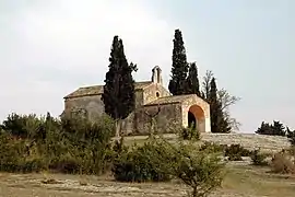 The chapel of Saint-Sixte, in Eygalières | |
.svg.png.webp) Coat of arms | |
Location of Eygalières | |
 Eygalières 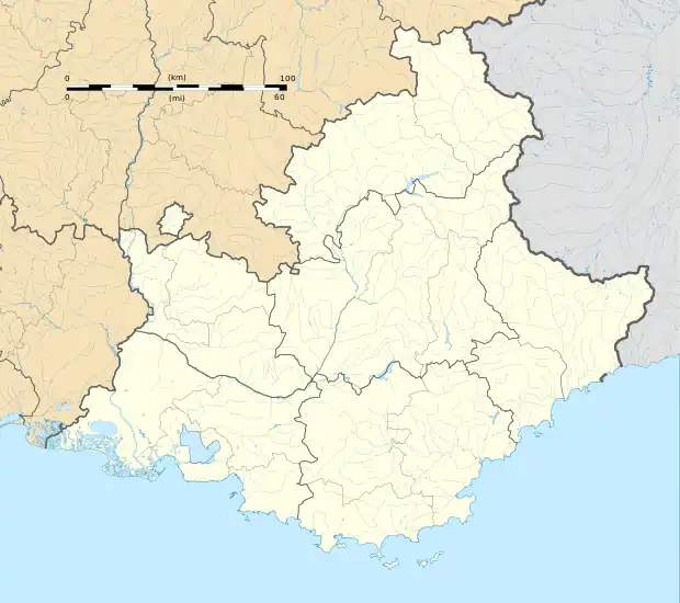 Eygalières | |
| Coordinates: 43°45′39″N 4°57′00″E / 43.7608°N 4.95°E | |
| Country | France |
| Region | Provence-Alpes-Côte d'Azur |
| Department | Bouches-du-Rhône |
| Arrondissement | Arles |
| Canton | Salon-de-Provence-1 |
| Intercommunality | Vallée des Baux-Alpilles |
| Government | |
| • Mayor (2020–2026) | Aline Pelissier[1] |
| Area 1 | 33.97 km2 (13.12 sq mi) |
| Population | 1,730 |
| • Density | 51/km2 (130/sq mi) |
| Time zone | UTC+01:00 (CET) |
| • Summer (DST) | UTC+02:00 (CEST) |
| INSEE/Postal code | 13034 /13810 |
| Elevation | 12–300 m (39–984 ft) (avg. 20 m or 66 ft) |
| 1 French Land Register data, which excludes lakes, ponds, glaciers > 1 km2 (0.386 sq mi or 247 acres) and river estuaries. | |
Eygalières (French pronunciation: [ɛɡaljɛʁ]; Provençal: Aigalieras) is a commune in the Bouches-du-Rhône department, southern France.
Population
| Year | Pop. | ±% p.a. |
|---|---|---|
| 1968 | 1,233 | — |
| 1975 | 1,284 | +0.58% |
| 1982 | 1,427 | +1.52% |
| 1990 | 1,594 | +1.39% |
| 1999 | 1,851 | +1.67% |
| 2007 | 1,887 | +0.24% |
| 2012 | 1,761 | −1.37% |
| 2017 | 1,839 | +0.87% |
| Source: INSEE[3] | ||
See also
References
- ↑ "Répertoire national des élus: les maires" (in French). data.gouv.fr, Plateforme ouverte des données publiques françaises. 13 September 2022.
- ↑ "Populations légales 2020". The National Institute of Statistics and Economic Studies. 29 December 2022.
- ↑ Population en historique depuis 1968, INSEE
External links
Wikimedia Commons has media related to Eygalières.
This article is issued from Wikipedia. The text is licensed under Creative Commons - Attribution - Sharealike. Additional terms may apply for the media files.