Emet District | |
|---|---|
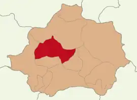 Map showing Emet District in Kütahya Province | |
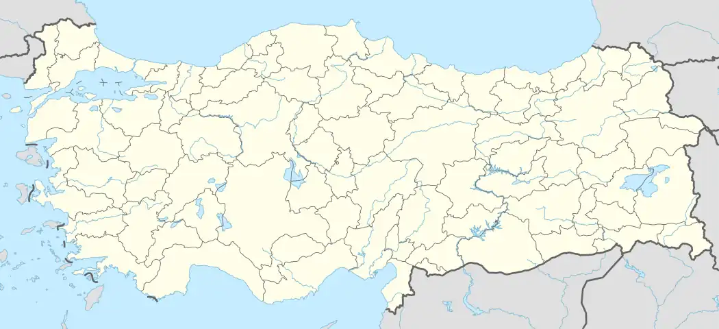 Emet District Location in Turkey  Emet District Emet District (Turkey Aegean) | |
| Coordinates: 39°20′N 29°16′E / 39.333°N 29.267°E | |
| Country | Turkey |
| Province | Kütahya |
| Seat | Emet |
| Government | |
| • Kaymakam | Hasan Çiçek |
| Area | 951 km2 (367 sq mi) |
| Population (2022) | 18,843 |
| • Density | 20/km2 (51/sq mi) |
| Time zone | TRT (UTC+3) |
| Website | www |
Emet District is a district of the Kütahya Province of Turkey. Its seat is the town of Emet.[1] Its area is 951 km2,[2] and its population is 18,843 (2022).[3]
Composition
There is one municipality in Emet District:[1]
There are 37 villages in Emet District:[4]
- Abaş
- Aydıncık
- Bahatlar
- Çerte
- Dereli
- Doğanlar
- Düşecek
- Eğrigöz
- Esatlar
- Eseler
- Göncek
- Günlüce
- Gürpınar
- İğdeköy
- İkibaşlı
- Işıklı
- Kabaklar
- Kalfalar
- Katrandağı
- Kayı
- Kırgıl
- Konuş
- Köprücek
- Küreci
- Musalar
- Ömerfakı
- Örencik
- Samrık
- Sarıayak
- Subak
- Umutlu
- Uzunçam
- Yağcık
- Yarış
- Yaylayolu
- Yenice
- Yeniköy
References
- 1 2 İlçe Belediyesi, Turkey Civil Administration Departments Inventory. Retrieved 22 May 2023.
- ↑ "İl ve İlçe Yüz ölçümleri". General Directorate of Mapping. Retrieved 22 May 2023.
- ↑ "Address-based population registration system (ADNKS) results dated 31 December 2022, Favorite Reports" (XLS). TÜİK. Retrieved 22 May 2023.
- ↑ Köy, Turkey Civil Administration Departments Inventory. Retrieved 22 May 2023.
Emet District in Kütahya Province of Turkey | |||||||||||||||||||||||||||
|---|---|---|---|---|---|---|---|---|---|---|---|---|---|---|---|---|---|---|---|---|---|---|---|---|---|---|---|
| Districts |  Districts of Kütahya | ||||||||||||||||||||||||||
| |||||||||||||||||||||||||||
Metropolitan municipalities are bolded. | |||||||||||||||||||||||||||
This article is issued from Wikipedia. The text is licensed under Creative Commons - Attribution - Sharealike. Additional terms may apply for the media files.