Dunlo, Pennsylvania | |
|---|---|
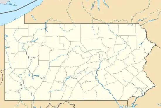 Dunlo Location in Pennsylvania | |
| Coordinates: 40°17′40″N 78°43′14″W / 40.29444°N 78.72056°W | |
| Country | United States |
| State | Pennsylvania |
| County | Cambria |
| Township | Adams |
| Area | |
| • Total | 0.53 sq mi (1.37 km2) |
| • Land | 0.53 sq mi (1.37 km2) |
| • Water | 0.00 sq mi (0.00 km2) |
| Elevation | 2,198 ft (670 m) |
| Population | |
| • Total | 353 |
| • Density | 667.30/sq mi (257.64/km2) |
| Time zone | UTC-5 (Eastern (EST)) |
| • Summer (DST) | UTC-4 (EDT) |
| ZIP code | 15930 |
| FIPS code | 42-20336 |
| GNIS feature ID | 1173616[2] |
Dunlo is an unincorporated community and census-designated place (CDP) in Adams Township, Cambria County, Pennsylvania, United States. It is located between the communities of Beaverdale and Salix, in the valley of Sulphur Creek, a tributary of the Little Conemaugh River. As of the 2010 census, the population was 342 residents.[4]
Demographics
| Census | Pop. | Note | %± |
|---|---|---|---|
| 2020 | 353 | — | |
| U.S. Decennial Census[5] | |||
References
- ↑ "ArcGIS REST Services Directory". United States Census Bureau. Retrieved October 12, 2022.
- 1 2 U.S. Geological Survey Geographic Names Information System: Dunlo, Pennsylvania
- ↑ "Census Population API". United States Census Bureau. Retrieved October 12, 2022.
- ↑ "Geographic Identifiers: 2010 Demographic Profile Data (G001): Dunlo CDP, Pennsylvania". U.S. Census Bureau, American Factfinder. Archived from the original on February 13, 2020. Retrieved March 30, 2015.
- ↑ "Census of Population and Housing". Census.gov. Retrieved June 4, 2016.
Municipalities and communities of Cambria County, Pennsylvania, United States | ||
|---|---|---|
| City | 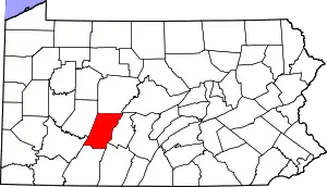 | |
| Boroughs |
| |
| Townships | ||
| CDPs | ||
| Other communities | ||
| Footnotes | ‡This populated place also has portions in an adjacent county or counties | |
This article is issued from Wikipedia. The text is licensed under Creative Commons - Attribution - Sharealike. Additional terms may apply for the media files.