Dražice | |
|---|---|
.JPG.webp) View from the south | |
 Flag  Coat of arms | |
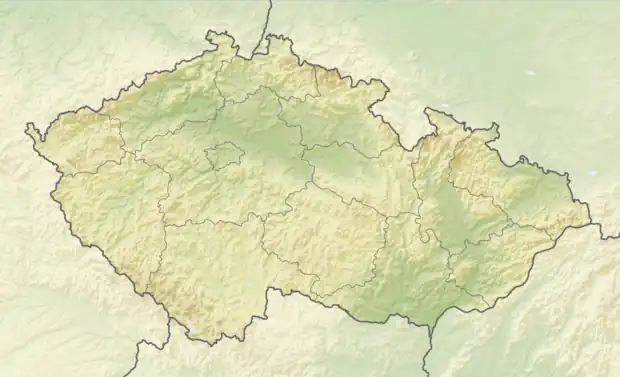 Dražice Location in the Czech Republic | |
| Coordinates: 49°25′46″N 14°35′24″E / 49.42944°N 14.59000°E | |
| Country | |
| Region | South Bohemian |
| District | Tábor |
| First mentioned | 1352 |
| Area | |
| • Total | 12.98 km2 (5.01 sq mi) |
| Elevation | 465 m (1,526 ft) |
| Population (2023-01-01)[1] | |
| • Total | 836 |
| • Density | 64/km2 (170/sq mi) |
| Time zone | UTC+1 (CET) |
| • Summer (DST) | UTC+2 (CEST) |
| Postal code | 391 31 |
| Website | www |
Dražice is a municipality and village in Tábor District in the South Bohemian Region of the Czech Republic. It has about 800 inhabitants.
Dražice lies approximately 6 kilometres (4 mi) west of Tábor, 51 km (32 mi) north of České Budějovice, and 75 km (47 mi) south of Prague.
Gallery
.jpg.webp) Main road
Main road Church of Saint John the Baptist
.jpg.webp) Municipal office
Municipal office
References
Wikimedia Commons has media related to Dražice (Tábor District).
This article is issued from Wikipedia. The text is licensed under Creative Commons - Attribution - Sharealike. Additional terms may apply for the media files.