Dozier, California | |
|---|---|
 Dozier, California  Dozier, California | |
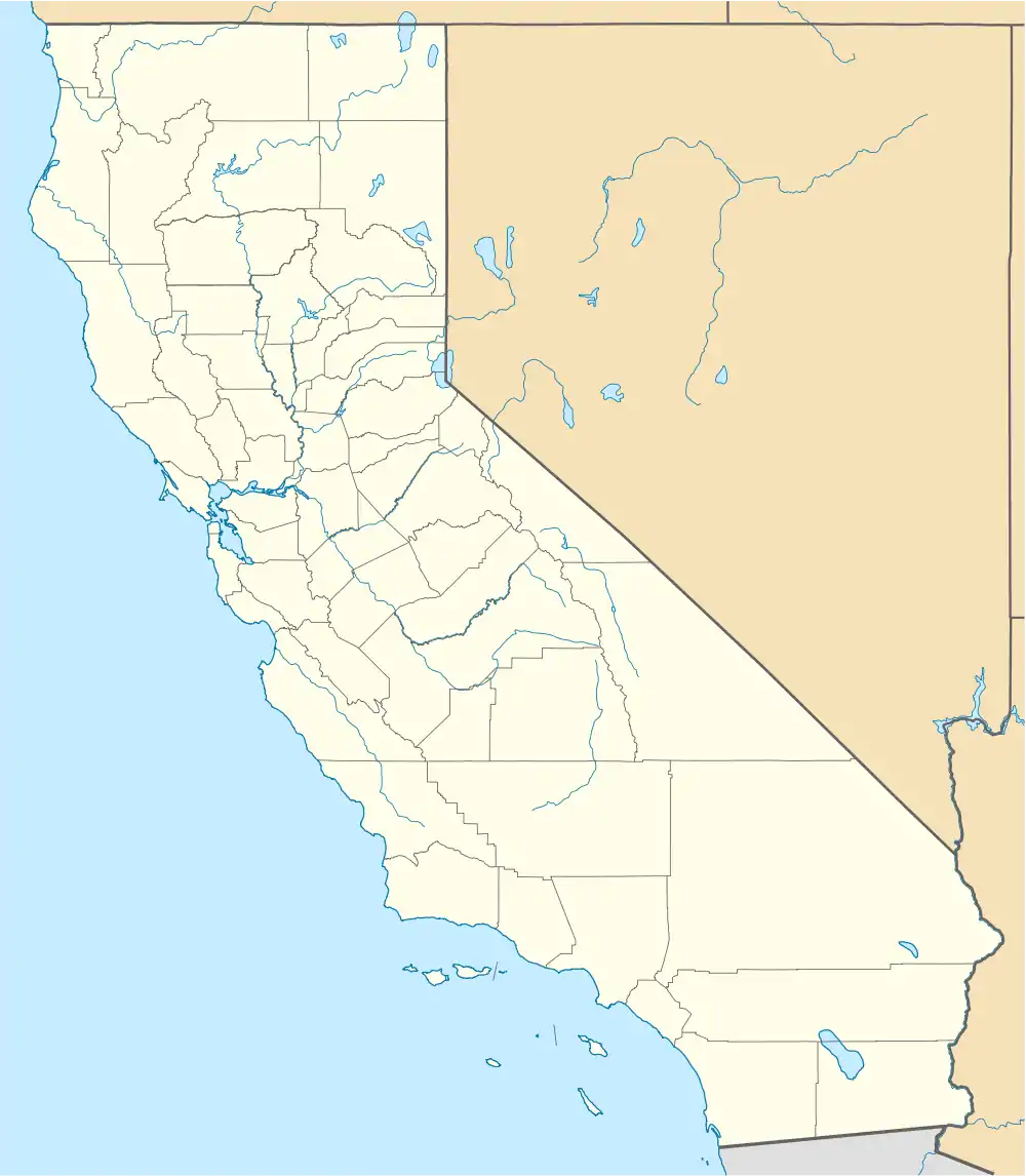
| Coordinates: 38°17′08″N 121°49′00″W / 38.28556°N 121.81667°W | |
| Country | United States |
| State | California |
| County | Solano |
| Elevation | 20 ft (6 m) |
| Time zone | UTC-8 (Pacific (PST)) |
| • Summer (DST) | UTC-7 (PDT) |
| Area code | 707 |
| GNIS feature ID | 252665[1] |
Dozier is an unincorporated community in Solano County, California, United States. The community is on California State Route 113 12 miles (19 km) east-northeast of Fairfield.[2]
References
- ↑ "Dozier". Geographic Names Information System. United States Geological Survey, United States Department of the Interior.
- ↑ California Department of Transportation (2005). State Highway Map 2005 (Map). Retrieved June 5, 2019 – via David Rumsey Historical Map Collection.
Municipalities and communities of Solano County, California, United States | ||
|---|---|---|
| Cities | 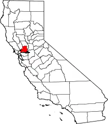 Solano County map | |
| CDPs | ||
| Unincorporated communities | ||
| Ghost town | ||
This article is issued from Wikipedia. The text is licensed under Creative Commons - Attribution - Sharealike. Additional terms may apply for the media files.